Brookside The Brookside Neighborhood Association is a neighborhood organization bounded by Brookside Parkway South Drive to the north, 10th Street to… Read More »Brookside
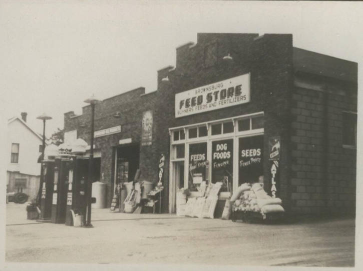
Brownsburg Brownsburg is in , approximately 17 miles west of Indianapolis. James B. Brown settled in Brown Township in 1824, which… Read More »Brownsburg
Butler-Tarkington Bounded by the , Meridian Street (west side), 38th Street, and and named for and former resident and Pulitzer Prize-winning… Read More »Butler-Tarkington
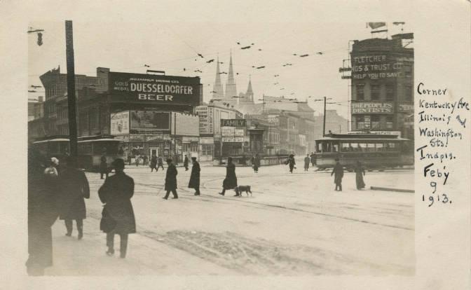
Camby Camby is a southwest Decatur Township community located near the intersection of Kentucky Avenue (S.R. 67) and Camby Road. In… Read More »Camby
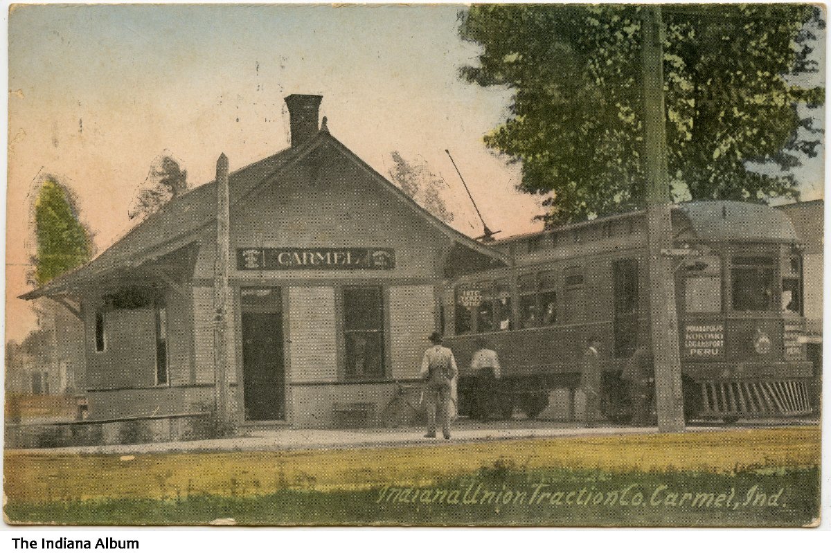
Carmel Located north of Indianapolis in southern , Carmel, settled in the 1820s, was a small farming community for over a… Read More »Carmel
Carson Heights Carson Heights is a neighborhood on the south side of Indianapolis. While the boundaries of the neighborhood are not clearly… Read More »Carson Heights
Carson Square Carson Square is a neighborhood located south of the University of Indianapolis and east of University Heights. The neighborhood is… Read More »Carson Square
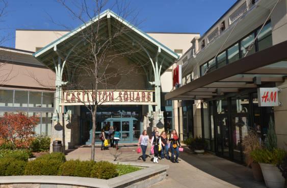
Castleton Castleton is a northeast side neighborhood located on East 82nd Street in Lawrence Township. The congested commercial district of Castleton… Read More »Castleton
Center Township Marion County was organized into nine townships in 1822. Within three years, selected the fledgling settlement in Center Township as… Read More »Center Township
Chapel Hill Chapel Hill is bounded by 10th Street to the north, Westlake Road to the south, Interstate 465 to the east,… Read More »Chapel Hill