Chatham Arch Located on the northeastside of downtown Indianapolis, bounded by I-65, College Avenue, East Street, and North Street, Chatham Arch is… Read More »Chatham Arch
Christian Park Christian Park is a neighborhood bounded by Washington Street to the north, railroad tracks to the south, Emerson Avenue to… Read More »Christian Park
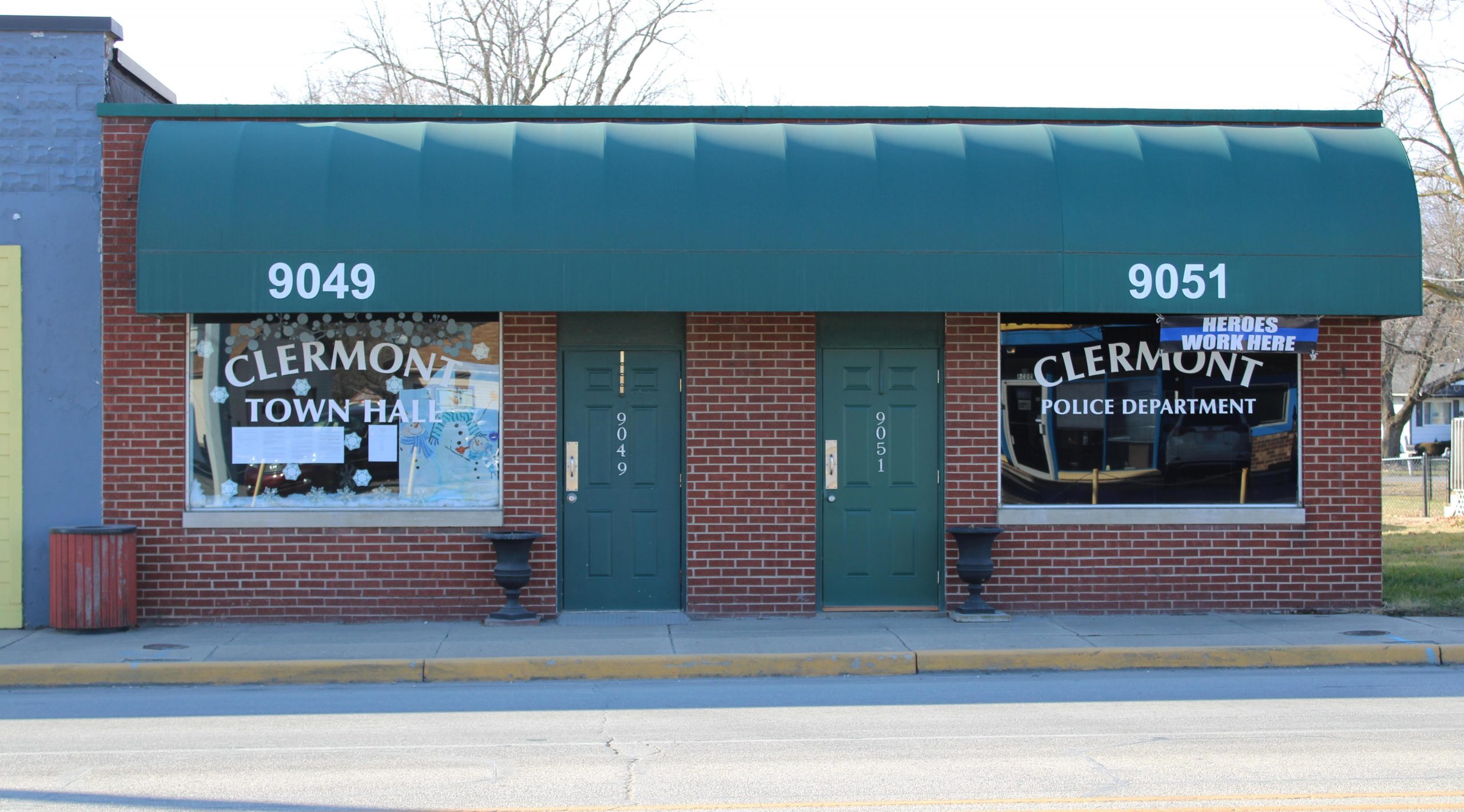
Clermont Clermont is a northwest town located along Crawfordsville Road (U.S. Highway 136) at the Marion County line. In April 1849,… Read More »Clermont
Cole-Noble Commercial Arts District Cole-Noble Commercial Arts District is a neighborhood organization bounded by Miami Street to the north, railroad tracks and Washington Street… Read More »Cole-Noble Commercial Arts District
College Commons Neighborhood Association College Commons Neighborhood Association is a neighborhood organization bounded by 96th Street to the north, 91st Street to the south,… Read More »College Commons Neighborhood Association
Community Heights Community Heights is a neighborhood bounded by 21st Street to the north, 10th Street to the south, Arlington Avenue to… Read More »Community Heights
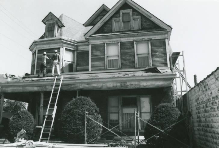
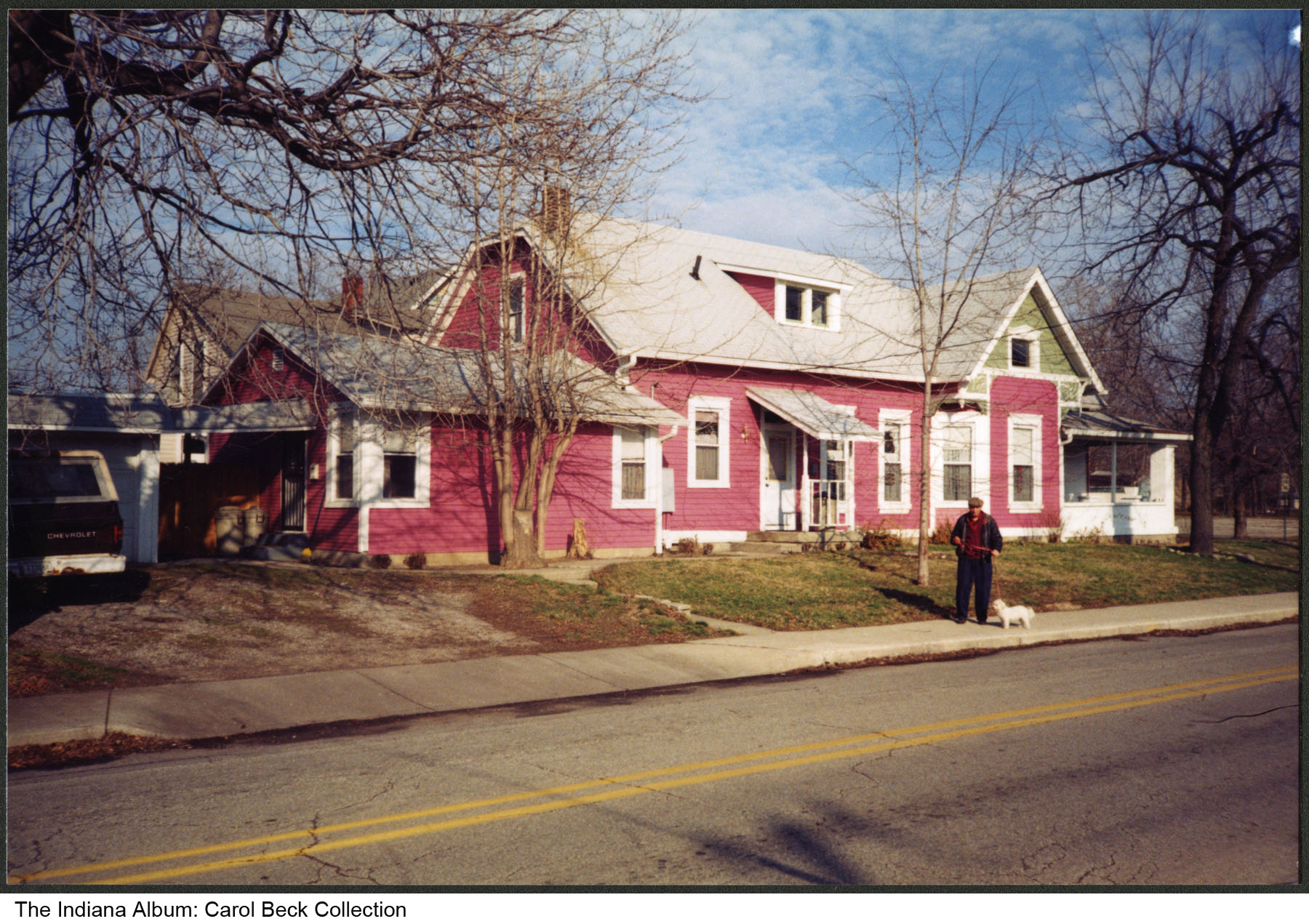
Cottage Home A near eastside historic district bounded by 10th , Oriental, and Michigan streets and I-70, Cottage Home takes its name… Read More »Cottage Home
Crooked Creek Crooked Creek is a neighborhood centered along Michigan Road on the city’s northwest side. This diverse neighborhood has long been… Read More »Crooked Creek
Crosstown Community Organization Crosstown Community Organization is a neighborhood organization bounded by the to the north, 30th Street to the south, Dr. Avenue… Read More »Crosstown Community Organization
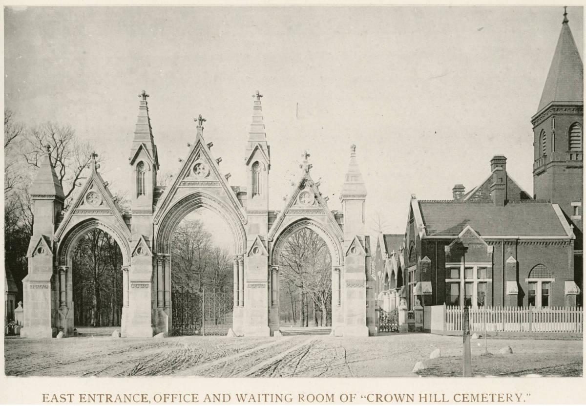
Crown Hill Cemetery Crown Hill Cemetery was officially incorporated as a nonprofit, nondenominational cemetery on September 25, 1863. Prior to Crown Hill, Greenlawn… Read More »Crown Hill Cemetery