Devonshire The Devonshire neighborhood is bounded by Binford Boulevard to the northwest, Fall Creek to the south, and Interstate 465 to… Read More »Devonshire
Drakeshire/Mary Knoll Neighborhood Association Drakeshire/Mary Knoll Neighborhood Association is a neighborhood organization bounded by the north side of Redwood Drive to the north, Edgewood… Read More »Drakeshire/Mary Knoll Neighborhood Association
Drexel Avenue Drexel Avenue Neighborhood Association is a neighborhood organization bounded by 38th Street to the north, 34th Street to the south,… Read More »Drexel Avenue
Drexel Gardens Bounded by Minnesota Street, I-70, Sam Jones Expressway, and Lynhurst Drive, Drexel Gardens dates to 1923 when the American Town… Read More »Drexel Gardens
Driftwood Hills Driftwood Hills Neighborhood Association is a neighborhood organization bounded by I-465 to the north, 86th Street to the south, Haverstick… Read More »Driftwood Hills
Dubarry Dubarry Determined is a neighborhood organization bounded by 38th Street to the north, 30th Street to the south, Post Road… Read More »Dubarry
Eagle Valley Eagle Valley Neighborhood Organization is a neighborhood organization bounded by Vermont Avenue to the north, Washington Street to the south,… Read More »Eagle Valley
Eagle’s Nest Eagle Nest Property Owners Association, Inc. is a neighborhood organization bounded by 82nd Street to the north, 75th Street to… Read More »Eagle’s Nest
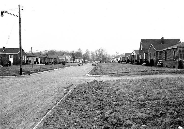
Eagledale Eagledale is a post-World War II neighborhood centered near the intersection of 34th Street and Georgetown Road. In the 1950s,… Read More »Eagledale
Eastgate Eastgate Neighborhood Association is a neighborhood organization bounded by East 16th Street to the north, East Washington Street to the… Read More »Eastgate