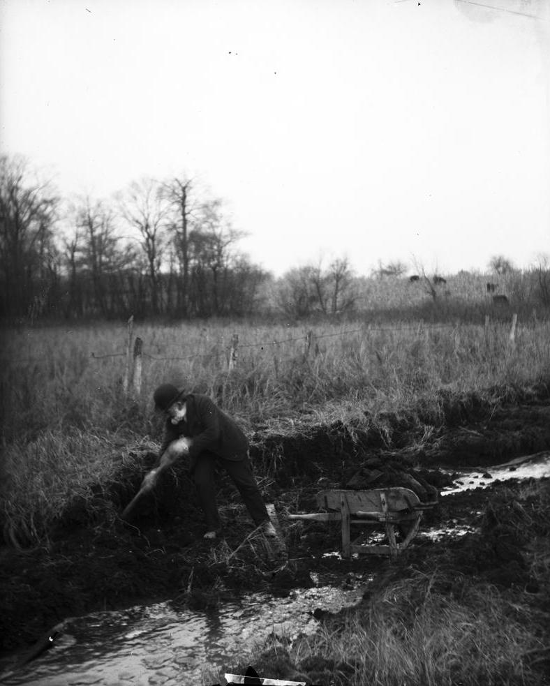
Bacon’s Swamp A large peat bog that once extended several blocks west of today’s Keystone Avenue between 54th Street and Kessler Boulevard,… Read More »Bacon’s Swamp
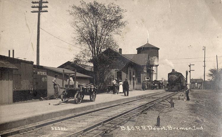
Baltimore and Ohio Trail Repurposed as a recreation rail-trail, in 1994, the vast Baltimore & Ohio railroad system originally radiated out of Indianapolis and… Read More »Baltimore and Ohio Trail
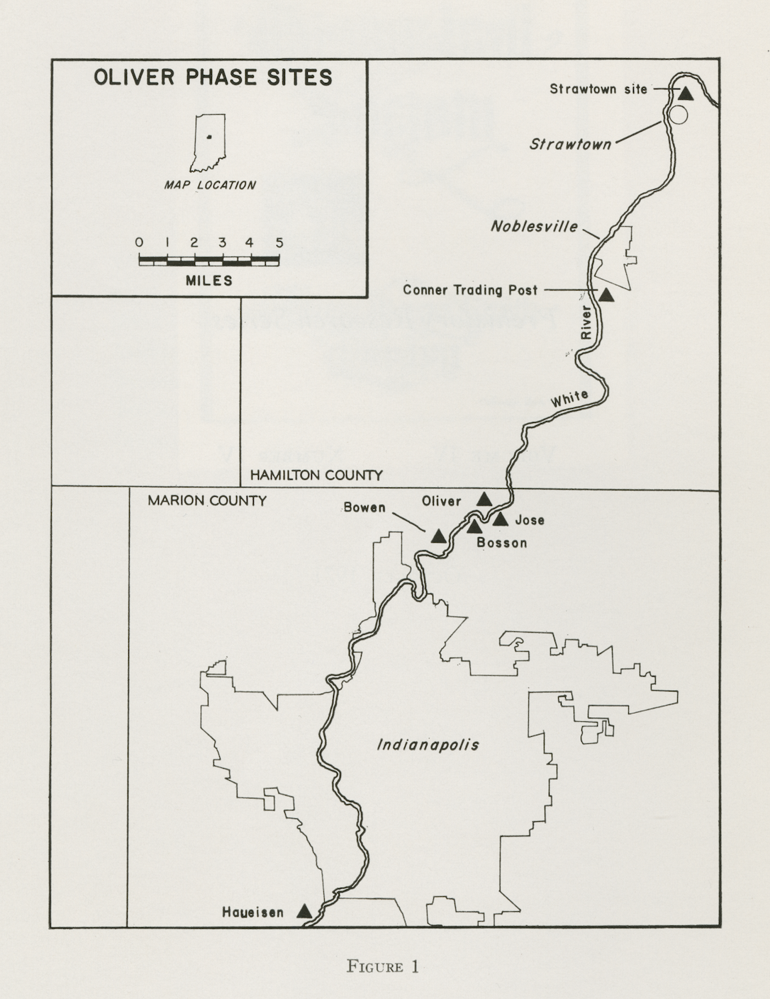
Bowen Site The Bowen Site is the best documented of seven known Late Woodland Native American villages along the in . The… Read More »Bowen Site
Bradford Woods Bradford Woods is located on roughly 2,500 acres of heavily wooded land located in Clay Township in the southwestern corner… Read More »Bradford Woods
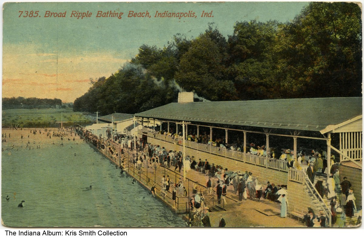
Broad Ripple Park Located along the , Broad Ripple Park served as a popular swimming and boating resort as early as 1890. Local… Read More »Broad Ripple Park
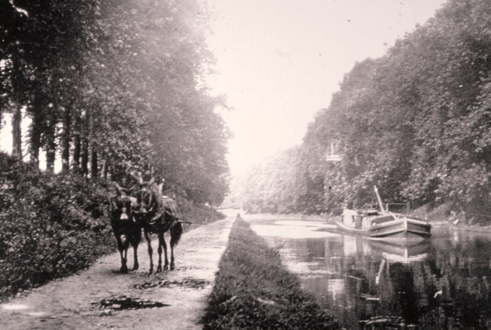
Canal and White River State Park The Indianapolis Cultural Development Commission selected the Canal and White River State Park area as one of Indianapolis’s due to… Read More »Canal and White River State Park
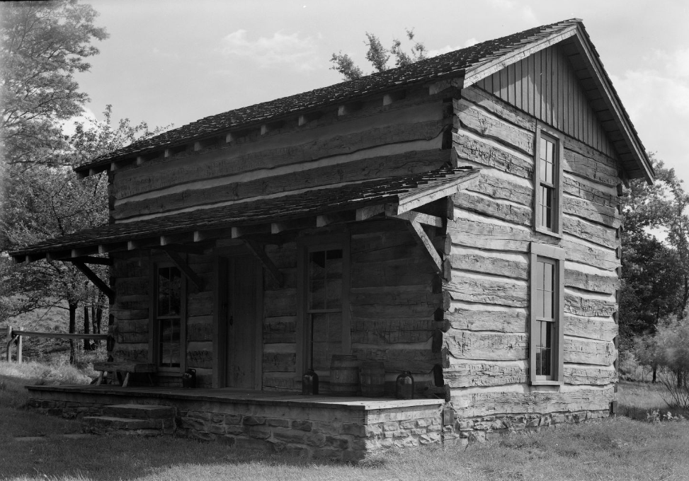
Conner Prairie Founded in 1964, Conner Prairie’s mission was to study and interpret the world of the early 19th-century settler in the… Read More »Conner Prairie
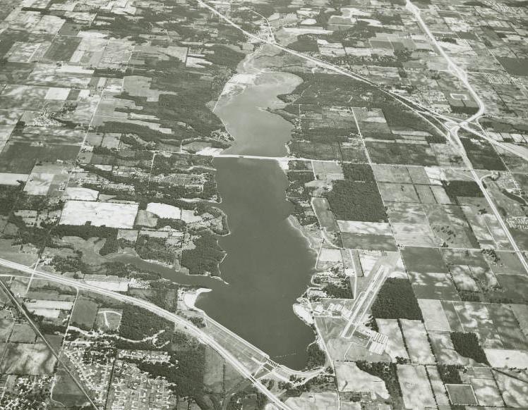
Eagle Creek Park Before Eagle Creek Park was a municipal park, it was a 12-acre country estate called Eagle Crest Estate. purchased most… Read More »Eagle Creek Park
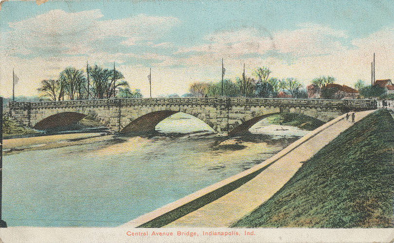
Fall Creek Bridges In 1899, a program of replacing Indianapolis’ steel and iron bridges with new “permanent” stone and concrete ones began. The… Read More »Fall Creek Bridges
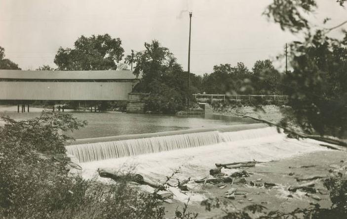
Fall Creek Waterway Fall Creek, a major tributary of White River within Marion County, was one of the earliest focal points of Indianapolis.… Read More »Fall Creek Waterway