United Northwest Area The United Northwest Area (UNWA) is located in what was once a large, unincorporated area known as . It is… Read More »United Northwest Area
University Heights University Heights is a southside community roughly bordered by Hanna Avenue, State and Lawrence streets, and Madison Avenue. It began… Read More »University Heights
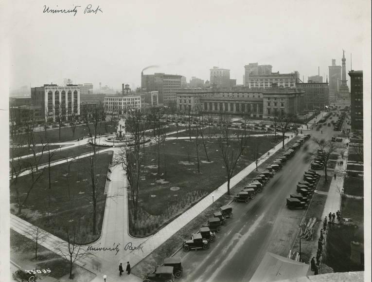
University Park Bounded by New York, Vermont, Pennsylvania, and Meridian streets, University Park is a site that has been reserved for public… Read More »University Park
Upper Canal Neighborhood Association Upper Canal Neighborhood Association is a neighborhood organization bounded by I-65 and 11th Street to the north, North Street to… Read More »Upper Canal Neighborhood Association
The Valley The Valley is a neighborhood organization bounded by Washington Street to the north, Morris to the south, White River to… Read More »The Valley
Venerable Flackville The Flackville Neighborhood Association is a neighborhood organization bounded by 38th Street to the north, 16th Street to the south,… Read More »Venerable Flackville
Village of West Clay Exhibiting the architectural theme of New Urbanism, a neighborhood design characterized with elements harkening back to pre-World II, small towns,… Read More »Village of West Clay
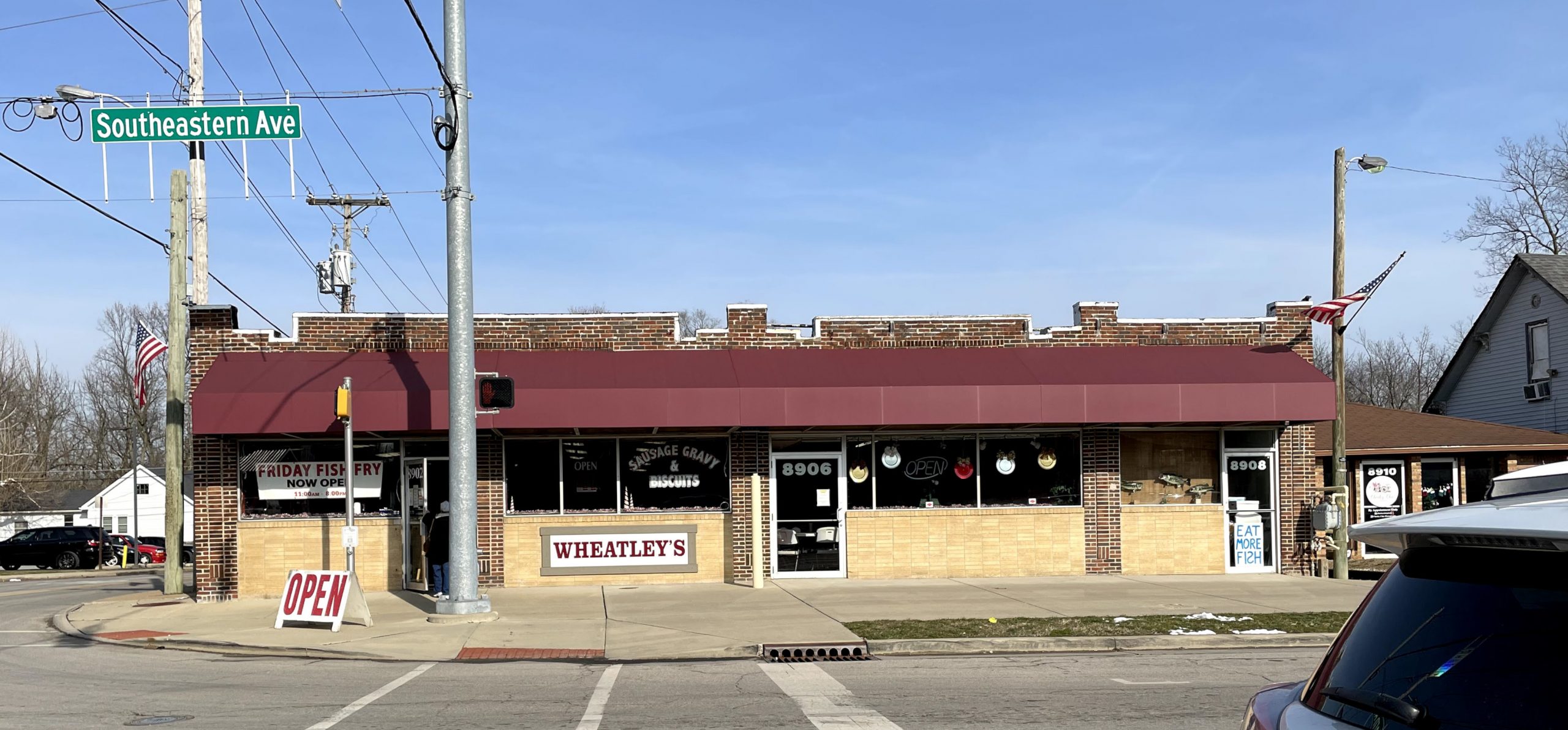
Wanamaker Wanamaker is a Franklin Township community centered at the intersection of Southeastern Avenue and South Post Road. In the 1820s,… Read More »Wanamaker
Warfleigh Warfleigh Neighborhood Association is a neighborhood organization bounded by the White River to the north and west, Westfield Boulevard to… Read More »Warfleigh
Warren Park Warren Park is a eastside bordered by 16th Street, Shadeland Avenue, 10th Street, and Perry Drive. It was a small… Read More »Warren Park