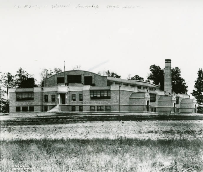
Warren Township Warren Township is located in the eastern portion of Marion County. When township boundaries were defined in 1822, commissioners named… Read More »Warren Township
Washington Place Washington Place Neighborhood Association is a neighborhood organization bounded by East 10th Street to the north, East Washington Street to… Read More »Washington Place
Washington Township Washington Township is located in the northern portion of Marion County. Settlement began in 1819 when John Allison brought his… Read More »Washington Township
Watson Park Watson Park Neighborhood Association is a neighborhood organization bounded by 38th Street to the north, Fairfield Avenue to the south,… Read More »Watson Park
Wayne Township Wayne Township is a western Marion County township, bounded by 38th Street, Belmont Avenue, Troy Avenue, and Raceway Road. Settlement… Read More »Wayne Township
We Care We Care Neighborhood Association is a neighborhood organization bounded by Washington Street to the north, Oliver Avenue to the south,… Read More »We Care
West Eastwood West Eastwood Neighborhood Organization is a neighborhood organization bounded by Brennan Road to the north, I-70 to the south, Franklin… Read More »West Eastwood
West Epler West Epler Neighborhood Association is a neighborhood organization bounded by Thompson Road to the north, Edgewood Avenue to the south,… Read More »West Epler
West Indianapolis The boundaries of the former West Indianapolis are roughly Washington Street, White River Parkway, Raymond Street, and Belmont Avenue. After… Read More »West Indianapolis
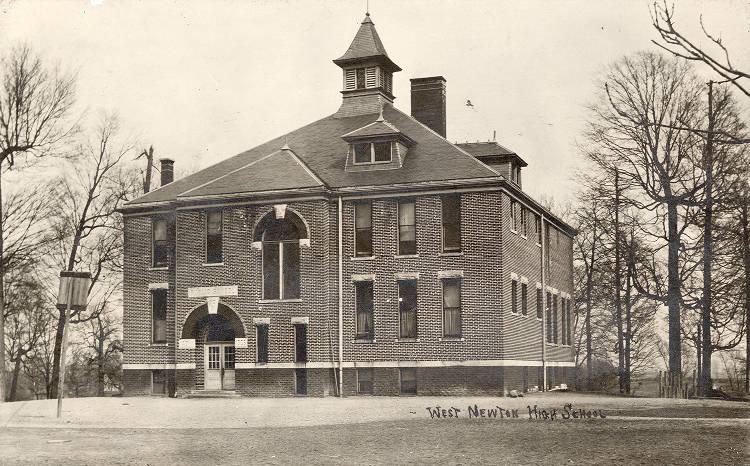
West Newton West Newton’s approximate boundaries are Mendenhall Road on the north, Goose Creek on the east, Milton Street on the south,… Read More »West Newton