Westchester Westchester is a neighborhood bounded by 86th Street to the north, 79th Street to the south, Township Line Road to… Read More »Westchester
Westfield Westfield is located in western , nine miles north of Indianapolis. In 1832, the area not yet defined as Westfield… Read More »Westfield
Westminster/St. Philip Neri Neighborhood Westminster/St. Philip Neri Neighborhood is a neighborhood organization bounded by Michigan Street to the north, railroad tracks to the south,… Read More »Westminster/St. Philip Neri Neighborhood
Westmore Heights Westmore Heights is a neighborhood organization bounded by 65th Street to the north, 62nd Street to the south, Oakland Street… Read More »Westmore Heights
Westside Neighborhood Association Westside Neighborhood Association is a neighborhood organization bounded by 22nd Street to the north, 10th Street to the south, Lafayette… Read More »Westside Neighborhood Association
Westview Westview Neighborhood Association is a neighborhood organization bounded by 38th Street to the north, 30th Street to the south, Guion… Read More »Westview
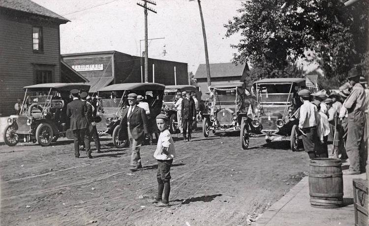
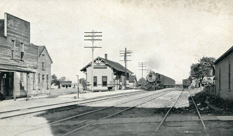
Whitestown Whitestown is a community in southeast corner of in Worth Township, approximately 22 miles northwest of Indianapolis. Whitestown was organized… Read More »Whitestown
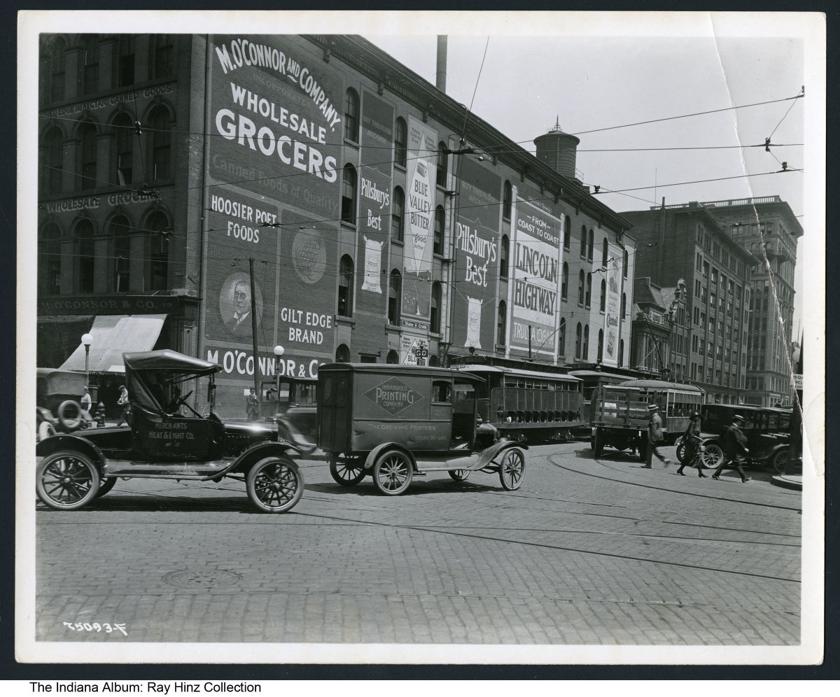
Wholesale District Bounded by Maryland, Delaware, and South streets and Capitol Avenue, the Wholesale District grew up around . Its proximity to… Read More »Wholesale District
Willard Park Neighborhood Willard Park Neighborhood is a neighborhood organization bounded by Michigan Street to the north, railroad tracks just beyond Washington Street… Read More »Willard Park Neighborhood
Williams Creek Williams Creek is a northside bounded by 81st Street, College Avenue, Williams Creek, and Pennsylvania Street. In 1925, Washington Bank… Read More »Williams Creek