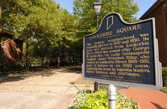
Lockerbie Square Lockerbie Square is a historic district bounded by Michigan, Davidson, New York, and New Jersey streets. In 1830 Janet and… Read More »Lockerbie Square
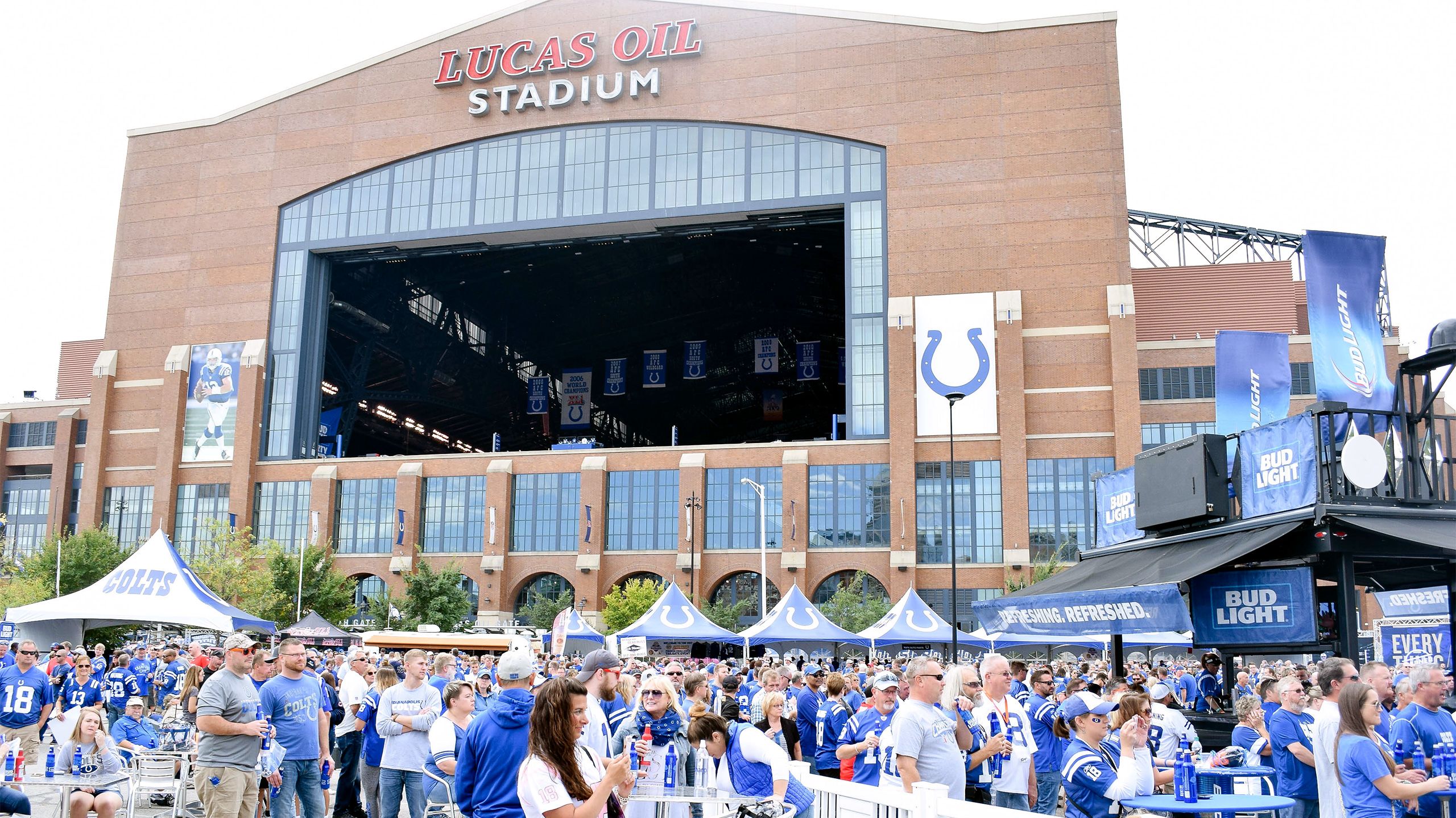
Lucas Oil Stadium Opened in August 2008, Lucas Oil Stadium (LOS), located at 500 South Capitol Avenue, is a multifunctional facility that serves… Read More »Lucas Oil Stadium
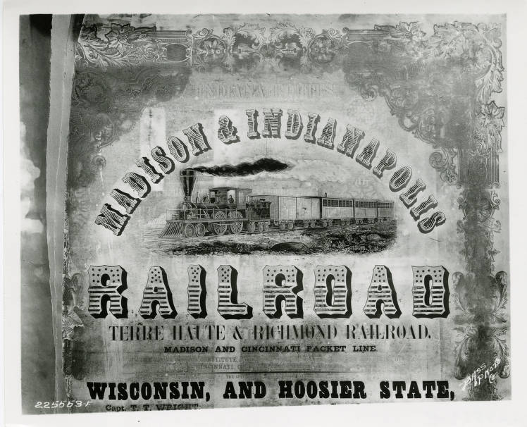
Madison and Indianapolis Railroad The Madison and Indianapolis Railroad (M&I) was the first operable steam railroad completed in Indiana and one of the first… Read More »Madison and Indianapolis Railroad
Madison County Madison County is located northeast of Marion County and is part of the Indianapolis-Carmel-Anderson . It occupies 453 square miles… Read More »Madison County
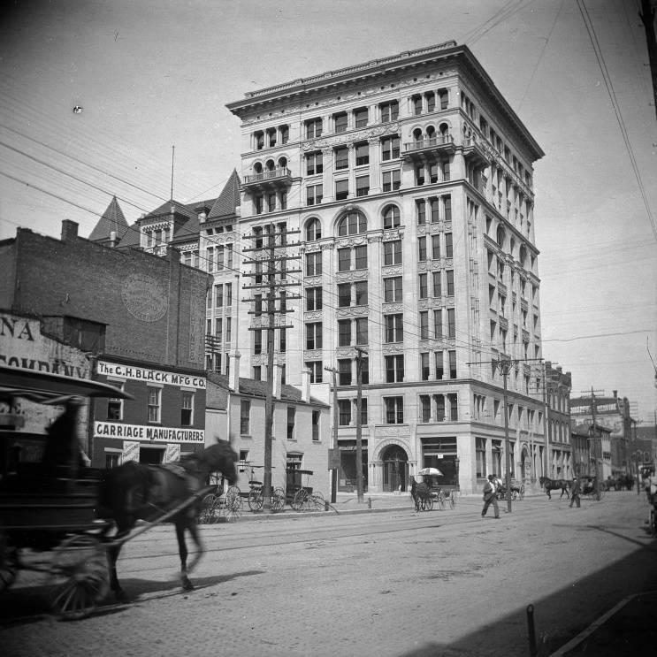
Majestic Building Immediately after a fire destroyed the Indianapolis Gas Company’s building in November 1894, architect Oscar D. Bohlen of the local… Read More »Majestic Building
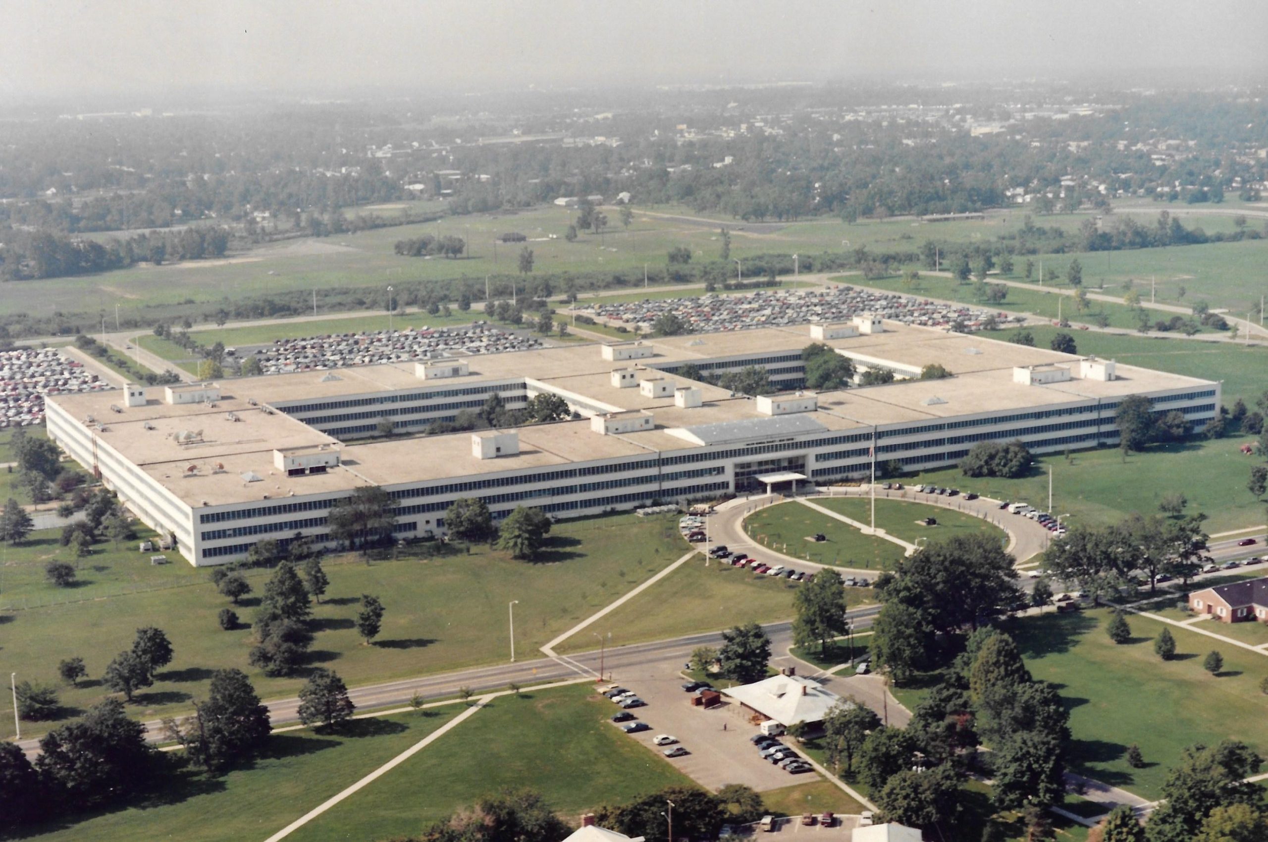
Major General Emmett J. Bean Federal Center The principal organization housed in this building has been known by numerous names: Finance Center, U.S. Army (1953-1972); U.S. Army… Read More »Major General Emmett J. Bean Federal Center
Mapleton-Fall Creek Mapleton-Fall Creek is a northside neighborhood bounded by 38th Street, Fall Creek Parkway, and Meridian Street. The community of Sugar… Read More »Mapleton-Fall Creek
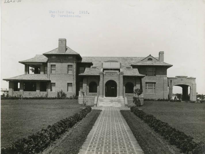
Marian University Mansions , , and , partners in the creation of the , each built or remodeled homes in the 3200 block… Read More »Marian University Mansions
Marion County Home of the City of Indianapolis, Marion County was named in honor of Revolutionary War General Francis Marion. It was… Read More »Marion County
Market East Located east of Market East is bounded by New York Street, Delaware Street, East Street, and train tracks. Characterized by… Read More »Market East