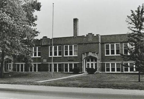
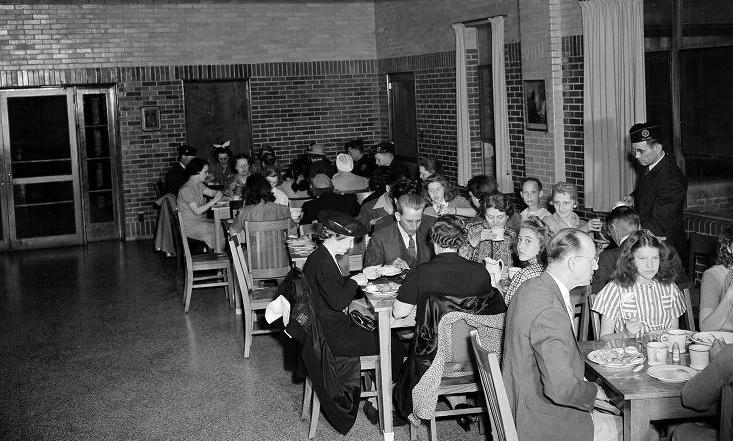
Located in , Bridgeport is eight miles from , along U.S. 40. In 1830, Samuel Barlow laid out the village at the site of a toll gate on the . Named for a bridge spanning White Lick Creek, Bridgeport was platted in May 1831. Early businesses included a general store, wagon maker, shoemaker, and a public house, the Wayside Inn, built about 1840. According to local lore, the inn hosted President Martin Van Buren when rain and mud halted his inspection of the National Road.

Despite its location on a busy thoroughfare, Bridgeport grew slowly as a stopover for travelers and a local center for trade. In the 1920s about 250 people lived in the community, although as Indianapolis expanded westward that number increased to 2,000 by 1980. Never an incorporated town, Bridgeport became a part of Indianapolis under Unigov.
On the outskirts of town, the Jameson Camp was founded in 1928 as a nutritional program to serve children at risk of contracting tuberculosis. The camp continues to offer summer programs for children with minor health, emotional, or social problems. During the school year, the camp facilities are rented to community groups for special events.

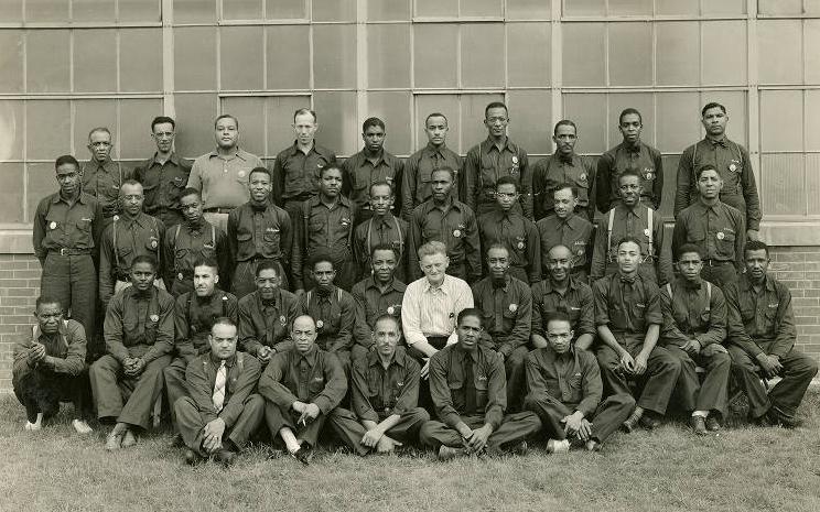
Two sections of Bridgeport served as early African American communities known as Sunnyside and West Parkview. At the time of Bridgeport’s platting in 1831, the largest populations of rural African Americans in Indianapolis were found in either Wayne or Washington Township. Wayne Township reported 34 African Americans in the 1840 Marion County census, 27 in 1850, 23 in 1860, and 174 in 1870.
The township organized two “colored schools” in 1884 to contend with the significant jump in the African American population. In the late 1890s, a white dentist named Dr. Welsh divided his 20-acre parcel of land along Girls School Road into 4-acre tracts to be sold only to “colored people” in a deliberate effort to segregate Bridgeport’s African American population. He called this area Sunnyside. Moses Williams, another white man owned 20 acres adjoining Sunnyside and in 1900 followed Welsh’s lead, dividing his property into 4-acre tracts and naming his area West Parkview. Known as Sunnyside/West Parkview, Welsh and Williams intentionally promoted the area to African Americans as a place where they could own homes through a series of articles in Indianapolis newspapers.

By 1914, their tactics took hold. However, the lack of infrastructure revealed Marion County’s negligence. Paths etched into the grass allowed for horse-drawn wagons, walking, or bicycling as a means of transportation. Gardening provided the main source of food with few grocery stores open to African Americans. In the late 1920s, the paths made way to dirt roads that were full of mud on rainy days and very dusty on dry ones. Though the white population a few miles away enjoyed electricity, the residents in Sunnyside/West Parkview did not.
In 1928 the neighborhood had grown but living conditions had not improved. Children attended one of the two “colored schools” almost four miles away, some on foot and others by horse-drawn wagon.
In 1941, a few families joined their resources to bring electricity to the neighborhood. Still, there were no roads, only dirt paths. Numerous residents contributed 10 cents a week for an unknown period of time toward the purchase of land for a civic clubhouse where they could hold neighborhood meetings. This came to fruition with the purchase of land around 1938. contributed funds toward the purchase of land for a park.
The Wayside Inn was razed in 1941 when the state widened U.S. 40. In the late 1940s, the narrow dirt roads were graveled and tarred. This development allowed Indianapolis politicians to more easily come to this part of Bridgeport to encourage the African American population to vote. Improved roads also allowed school buses to pick up neighborhood children on the main road, about one mile from the neighborhood core. In another development, telephone wires appeared.
Sometime in the 1950s, a devastating fire destroyed the Sunnyside/West Parkview area of Bridgeport. This tragedy pushed the African American community to lobby successfully for the construction of a fire station, the organization of a crew of firemen, and the purchase of a fire truck.
In the 1960s conditions in the African American corner of Bridgeport continued to improve. Gas lines finally arrived in the neighborhood, although they had existed in other parts of Bridgeport for some time. Well water gave way to city water. School buses finally came into Sunnyside/West Parkview to transport the neighborhood’s African American children to their designated school.
In 2020 Sunnyside/West Parkview is indistinguishable from the larger village of Bridgeport.

Help improve this entry
Contribute information, offer corrections, suggest images.
You can also recommend new entries related to this topic.

