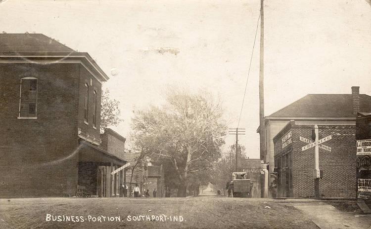
Southport Southport is a small city in southern Marion County bounded by Buck Creek, Stop 11 Road, McFarland Road, and Madison… Read More »Southport
Spades Park Spades Park Neighborhood Association is a neighborhood organization bounded by Interstate 70 to the north, Brookside Parkway South Drive to… Read More »Spades Park
Spanish-influenced Architecture in Indianapolis Examples of Spanish-influenced architecture can be found in various parts of Indianapolis. Historically, sixteenth-century Spaniards brought their architectural styles to… Read More »Spanish-influenced Architecture in Indianapolis
Speedway Speedway is a Marion County town located about seven miles northwest of Monument Circle. In 1912, real estate developer Lemon… Read More »Speedway
Spring Hill Spring Hill is a town bounded by Cold Spring Road to the west, to the south, and the campus and… Read More »Spring Hill
Springdale and Windsor Park Springdale Neighborhood Association is a neighborhood organization bounded by Brookside Parkway South Drive to the north, 10th Street to the… Read More »Springdale and Windsor Park
St. Clair Place St. Clair Place Neighborhood Association is a neighborhood organization bounded by 10th Street to the north, Michigan Street to the… Read More »St. Clair Place
St. Joseph Near north side neighborhood roughly bounded by I-65 to the north, Central and Fort Wayne avenues to the east, and… Read More »St. Joseph
Steinmeier Estates Steinmeier Estates is a neighborhood organization bounded by 75th Street to the north, 71st Street to the south, Irvington to… Read More »Steinmeier Estates
Stringtown Stringtown is a westside neighborhood roughly bounded by Michigan, White River Parkway, Washington, and Belmont streets. In 1833, the and… Read More »Stringtown