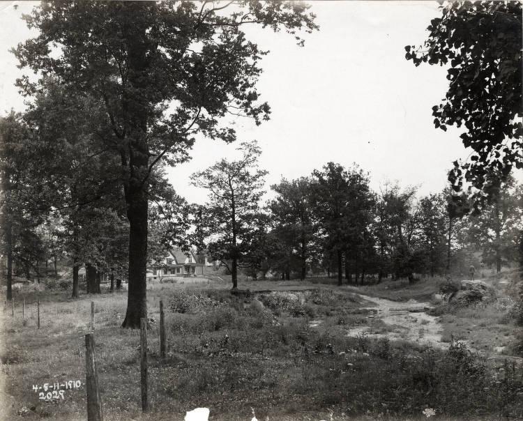
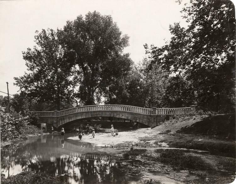
Pogue’s Run is a small stream that broke the pattern of plan for Indianapolis.
and his family were among the first permanent white settlers in the Indianapolis area. In 1821, some of Pogue’s horses disappeared. When he failed to return from his search for them, his neighbors began calling the stream beside his family’s cabin Pogue’s Run.

In 1821, when Alexander Ralston platted Indianapolis, he had to modify the overall grid pattern on the southeastern corner of the town where Pogue’s Run flowed. The land around the stream was swampy and the stream itself was mosquito infested in the warm months. The stream was subject to flooding and overflows during rainy weather. Before state legislators moved to the city in 1825, they appropriated $50 to clean out Pogue’s Run, “a source of pestilence.”
In 1863, soldiers stopped a train carrying men who had protested against the Lincoln government at a Democratic convention. As they searched the passengers in one train car, those in a second car discarded their guns and knives into the waters of Pogue’s Run, which ran alongside the track. This event, which dramatized Indiana’s tensions, became known as the .

In 1914, the city ran the portion of the stream inside the Mile Square into storm sewers, to better control the flooding from the stream, and to allow the railroad tracks on the south side of downtown to be elevated. Elevation of the tracks eliminated at-grade roadway crossings and allowed for continuous platting of the area. Outside the Mile Square, city planner turned the land beside the creek into one of the city’s parkways. Pogue’s Run still flows along Brookside Parkway northeast of downtown, in part dictating Brookside Park’s linear layout.
A trail parallels Pogue’s Run in the section of the creek that is still above ground. Blue thermoplastic paint, part of a public art project completed by artist Sean Derry in 2005, marks the original route of the stream (the portion enclosed in storm sewers) from Michigan Street south to the .

Help improve this entry
Contribute information, offer corrections, suggest images.
You can also recommend new entries related to this topic.