Hamilton County is adjacent to Indianapolis-Marion County to the north and part of the . It comprises 400 square miles with running through the center. The river was created by glacial runoff and the area eventually became a giant forest with paths kept open by migrating animals.
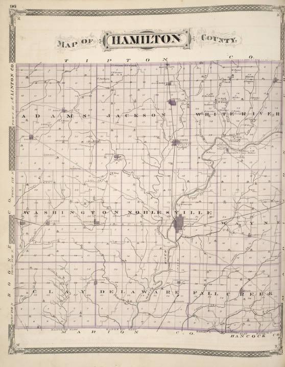
There were two key paths, one going north-south and one going east-west. The north-south route ran from the Falls of Ohio (Louisville) to Fort Wayne. It followed White River in the central part of the state and crossed the river at Strawtown.
The east-west trail became known as the Lafayette Trace. It started at the Ohio River near present-day Cincinnati. It crossed the White River at Strawtown, then to the prairies on the Wabash River.
Animals like elk and buffalo used the trails and were followed by the first humans possibly 10,000 years ago. The first known settlement was established at Strawtown around 1000 AD. Mounds were constructed, which are contemporary with the mounds at and New Castle. Eventually, these people left and the Miami tribe became dominant in the area around the 1600s.
European traders were probably using the trails by the 1700s. The Delaware (Lenape) moved in in the late 1700s. The trails were used during the War of 1812, with a skirmish at Strawtown in 1813. The first non-Native settler——came in 1802 with other fur traders, and was the only one that stayed. The left when the Treaty of St. Mary’s was signed in 1818. Settlers began to arrive, and the first settler in the Noblesville area was an African American fur trader.
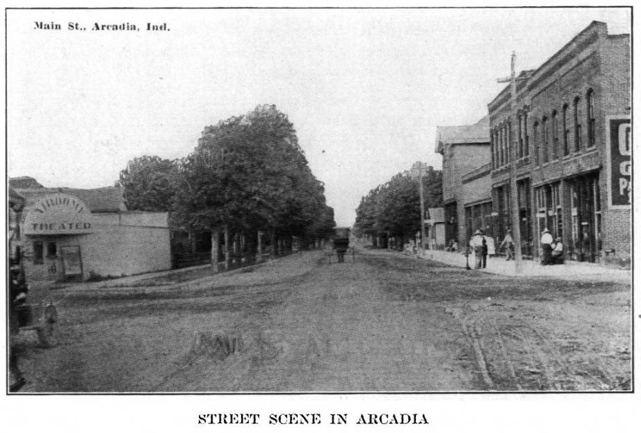
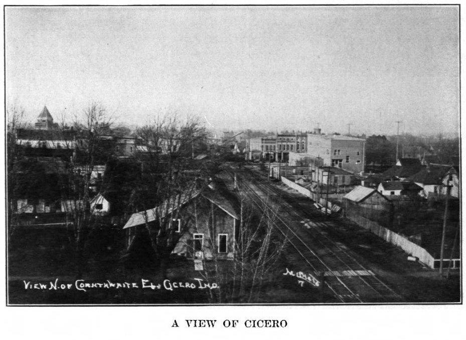
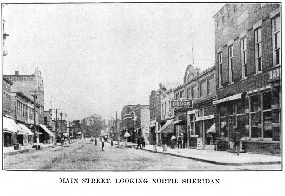
The county was officially established in 1823. was established the same year and became the county seat in 1824. The first wave of settlement came in the 1830s. Towns like , Bethlehem (), Boxley, Cicero, Arcadia, Clarksville, Cyntheanna, and others were established. Groups formed communities like the free African Americans of . The wave of settlement ended with the national depression and Indiana state bankruptcy in 1837.
This era saw the start of Underground Railroad activities. The pioneer period ended with the construction of the Peru and Indianapolis Railroad in 1851. During the lead-up to the Civil War, the county became strongly pro-Union. Its people were the first in the state to enlist after the attack on Fort Sumter and served in all theaters of the war. In 1868, they built the second monument in the state.
The next major phase in the growth of the county was the gas boom. In 1887, a giant field of natural gas was discovered in northeast Indiana, and Hamilton County was within the field. As in the rest of the state, new industries began appearing, and new workers began pouring in.
In the late 1890s, wasteful usage caused the gas pressure to begin dropping. Shortages happened, and the supply soon failed. People began to leave as the factories closed, and the county lost 20 percent of its population between 1900 and 1920.
This socioeconomic upheaval occurred simultaneously with the national rebirth of . The Klan had appeared in the county just before World War I and surged afterward as did the rest of the state under the leadership of . There were two chapters in Hamilton County—Noblesville and Jackson Township.
After the conviction of D. C. Stephenson for rape and murder, which was decided by a Hamilton County jury, the local Klan seemed to disappear. However, recent research revealed that it remained in operation until 1935 under another name.
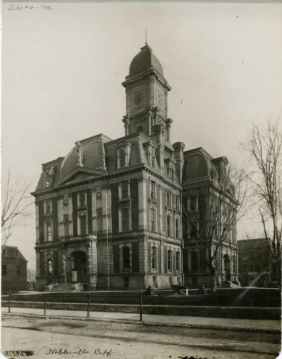
The county started to recover its population in the 1930s. A contribution came from efforts at scientific agriculture at places like the Lilly farm, the Lynwood farm, and others, as well as the establishment of Beck’s Seeds.
The 1950s saw the beginning of the suburban boom. Major highways like SR 37, I-69, and I-465 made commuting much easier and opened the county to suburbanization from Marion County. As the communities grew, they began annexing land. In 1955, Clay Township annexed two-thirds of Delaware Township, from Rangeline Road to White River. The population of that township began to skyrocket and passed Noblesville in the 1970s. Major annexations began in the 1980s. Noblesville acquired land below 146th Street in Delaware Township while made annexations in Fall Creek Township. As of March 2018, Carmel included all of Clay Township. The county government consists of three commissioners and a seven-member county council.
The county population has grown rapidly since the middle of the 20th century. The growth of Carmel and Fishers has been most dramatic. Between 1980 and 2018, Carmel’s population more than quadrupled, while Fishers’ almost quintupled. Fishers has added more people than any other community in Indiana since 2000.
Noblesville and Westfield also have experienced much growth in the past few decades. By 2020, three of Hamilton County’s cities were counted among Indiana’s 12 largest. Carmel ranked 5th , Fishers ranked 6th , and Noblesville ranked 12th .
Every business day, large numbers of commuters travel into Indianapolis from Hamilton County. Over 90,000 cars pass through the U.S. 31 (North Meridian Street) and Interstate I-465 intersection alone each day. Commuting from Hamilton County and other surrounding counties creates infrastructure problems for Indianapolis. Taxpayers in Marion County carry the financial brunt of maintaining roads that carry over 150,000 commuters into Indianapolis from the surrounding counties daily.
Beginning in 2004, Carmel and Fishers have made it to lists of the best places to live in the United States. In 2020, Westfield joined that club. The recent redevelopment of Carmel has become a model for other communities. Since the mid-1990s, the city has engaged in placemaking initiatives that include a walkable urban downtown and opportunities for cultural enrichment. The , which opened in downtown Carmel in 2011, is home to the , the and Indiana Wind Symphony. The Center also attracted in 2011 from Indianapolis, where it was located for nearly a century.
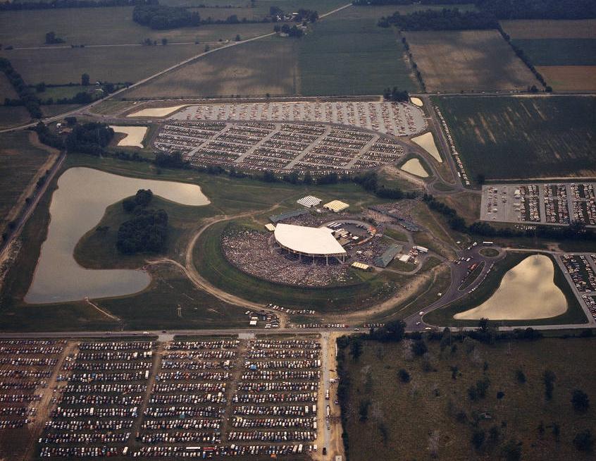
Other major attractions in Hamilton County include in Fishers, in Noblesville, and in Westfield. These venues have become rivals to Marion County destinations. Many green spaces and also have been developed throughout the county.

Is this your community?
Do you have photos or stories?
Contribute to this page by emailing us your suggestions.