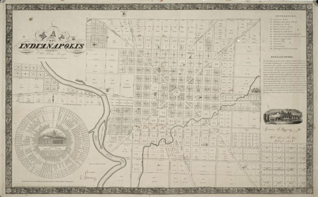
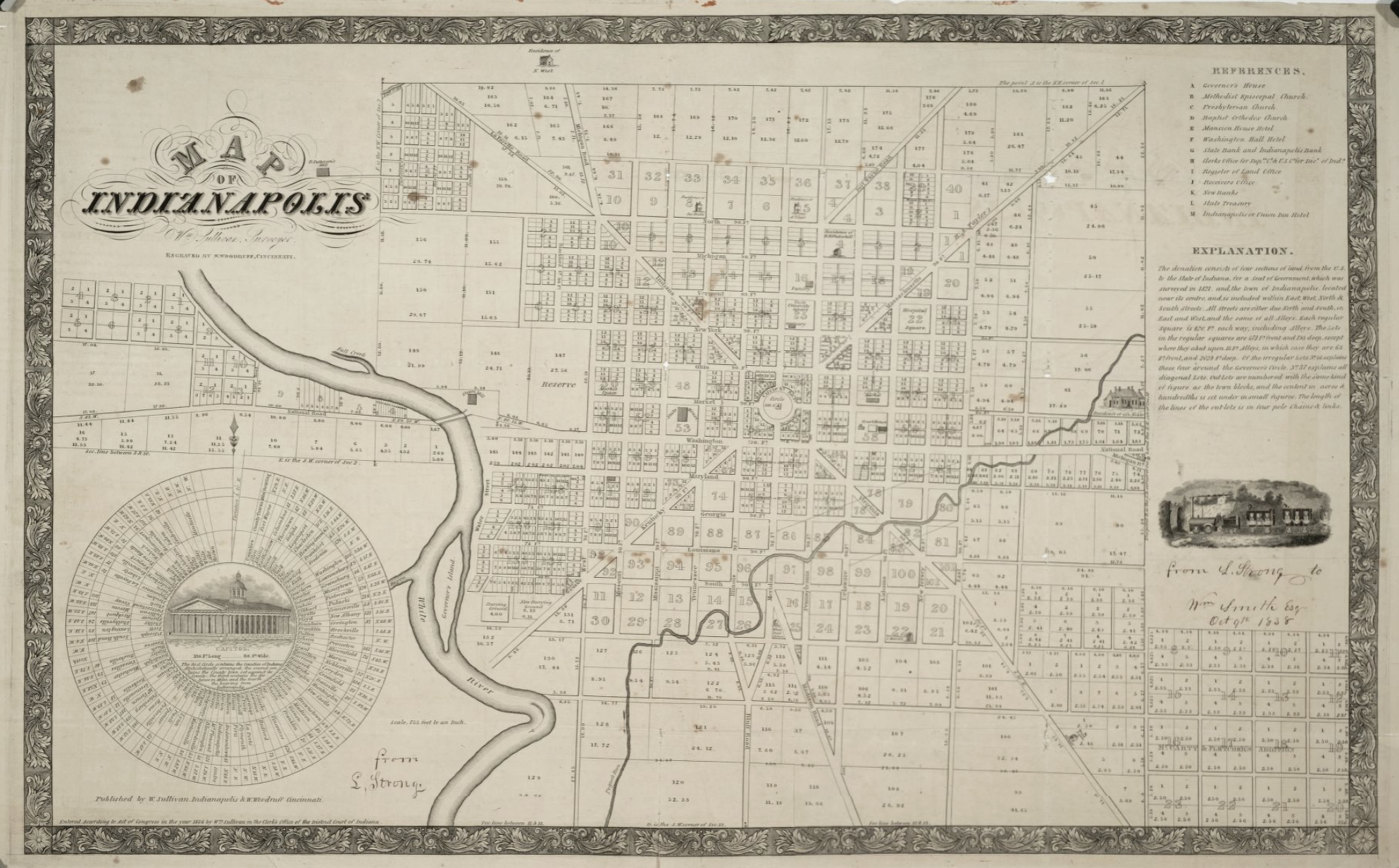
Governor’s Island was a small body of land in the middle of the , located south of Washington Street, just north of Kentucky Avenue, and just to the west of . It was originally part of a bend in the river before a small channel was cut through the bend, creating the island.
The earliest maps showing the island are from the 1821 and 1822 surveys of where the unnamed island sits west of the Indianapolis ‘donation,’ or the Seat of Government. The island continued to appear on maps in the years after the city’s founding, although it’s not always named. The 1852 Munsell map of Marion County labels the island as simply “Island,” while the 1866 Warner map identifies it as “Governor’s Island.”

Little mention is made of the island in written sources, whether a description of its location or being identified as “Governor’s Island.” Historian Berry Sulgrove, in his History of Indianapolis and Marion County, published in 1884, provides some of the most descriptive information about the island. Sulgrove describes it as “a low sandy island, containing a couple or three acres, and covered with large sycamores and elms, called ‘Governor’s Island.’” The made a similar observation in 1885, describing Governor’s Island as “a low, heavily timbered, weed-covered, sandbar…”
Over a decade before the publication of Sulgrove’s history, John H. B. Nowland references the island in his Early Reminiscences of Indianapolis, published in 1870. Nowland describes early efforts at farming in Indianapolis in 1821 and notes that residents from the surrounding area would take their horses “to the island just across the river from the old cemetery to graze” on Sundays. Per Nowland, the island was full of pea vine and other “good pasture” which was a treat for the horses after a work week. However, he also reported that a panther was known to prowl the island, and the animal’s “halloo” could be heard at night, sometimes dissuading residents from grazing their horses on the island. also references the wildlife on the island in his history of Indianapolis, where he makes a passing comment about a large bear seen on Governor’s Island.
The sandbar nature of Governor’s Island made it susceptible to the floods that often visited the White River. By the time Sulgrove wrote his history of the city he noted that Governor’s Island “had entirely disappeared,” an observation the Indianapolis Journal shared in 1885. Sulgrove also described that flooding had cut away at the east bank of the river where the city cemetery was located and shifted the main flow of the river to the east of the island. As a result, he reported that the “once conspicuous feature is merged in the broad low sandbar that fills the old bed.” This suggests that the island was then merged into a new west bank of the river.
Despite reports of its demise, Governor’s Island continued to make appearances on maps of the city well into the 1890s and past the turn of the century. This may be the result of map makers copying older maps, or mapping out periodic sandbars which would appear following flood events. Today, when the water level on the White River is lower, a large sandbar often appears in the approximate location of the former Governor’s Island, just west of the former site.
FURTHER READING
- Fujawa, Ed. “A Glorified Sandbar: The History of Governor’s Island in Indianapolis.” Class 900: Indianapolis, February 27, 2023. https://www.class900indy.com/post/a-glorified-sandbar-the-history-of-governor-s-island-in-indianapolis.
CITE THIS ENTRY
APA:
Fujawa, E. (2024). Governor’s Island. Encyclopedia of Indianapolis. Retrieved Feb 21, 2026, from https://indyencyclopedia.org/governors-island/.
MLA:
Fujawa, Ed. “Governor’s Island.” Encyclopedia of Indianapolis, 2024, https://indyencyclopedia.org/governors-island/. Accessed 21 Feb 2026.
Chicago:
Fujawa, Ed. “Governor’s Island.” Encyclopedia of Indianapolis, 2024. Accessed Feb 21, 2026. https://indyencyclopedia.org/governors-island/.

Help improve this entry
Contribute information, offer corrections, suggest images.
You can also recommend new entries related to this topic.
