The Indianapolis Central Canal Corridor lies along the Canal Walk, a 3-mile pedestrian loop that follows the general path of what once used to be the old Indiana Central Canal. In 1825, the success of the Erie Canal in New York State spurred hasty construction of canals throughout the Midwestern states. Rivers and canals were the preferred modes of long-distance transportation in the 1830s, thus, in 1836, the Indiana state legislature envisioned the Indiana Central Canal as a transportation corridor connecting the Wabash and Erie Canal to the Ohio River. Funding came from the Mammoth Internal Improvement Act, of which $3.5 million ($97 million in 2020) was directed towards the construction of the Central Canal.

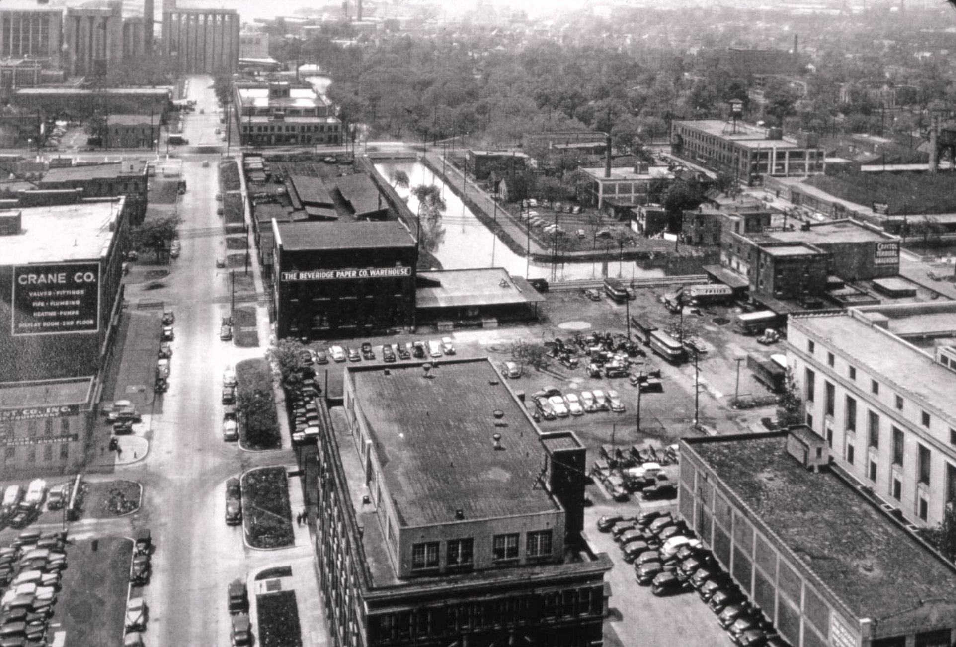
Prior to its construction, the canal path was designed to be six feet deep and sixty feet wide extending 296 miles from Peru, Indiana, to Evansville, Indiana, where it would reach the Ohio River. Had construction continued, it would have been the longest canal in Indiana., connecting the Wabash and Erie canals to the Ohio River. The Act approved and funded several projects all of which initiated construction simultaneously, but none received full funding in part due to the Panic of 1837 when Indiana suffered from major financial hardships. Only eight miles of the canal system were fully constructed, these are in Indianapolis. With growing interest debt at half a million dollars a year, the canal project was abandoned and sold to private owners and eventually sold to the to power turbines that pumped water from wells.
The Indianapolis Division of the Indiana Central Canal is the oldest remaining man-made structure or facility in Indianapolis-Marion County. The canal is listed on the Indiana State Register of Historic Places. On August 11, 1971, the American Water Works Association recognized the canal between 18th Street and the headwaters at Broad Ripple as an American Water Landmark.

In 1975, the canal was also cited by the Historic Landmarks Foundation of Indiana, as part of a detailed neighborhood survey that focused on the downtown segment of the canal. The also cited the canal as historically significant in a survey of potential National Register sites in Indianapolis-Marion County.
In 1976, the Indiana Water Company deeded the canal south of 16th Street to the City of Indianapolis. The City later undertook a project, beginning in 1985, to drain, rebuild, lower, and then restore water to the remaining downtown section of the canal.

Indianapolis officials began the restoration of the canal and construction of the 1.5 miles Canal Walk in 1985, which led to its extension into as well as through the . The project was completed in 2001. City officials envisioned the Central Canal Corridor as a bustling pathway lined with restaurants and shops, however, a more suburban approach to development has led to residential and office buildings along most of the 1.5-mile stretch.
In 2004, the Indianapolis Cultural Development Commission established the as one of the city’s six due to the numerous cultural institutions lining the banks of the canal.

Locals and visitors have opportunities to learn about Indiana’s past, present, and future by visiting the and White River Gardens, the , the , the , and the .
FURTHER READING
- Bakken, J. Darrell. “Now That Time Has Had Its Say”: A History of the Indianapolis Central Canal, 1835-2002. 2003; 1stBooks Library, n.d. https://archive.org/details/nowthattimehasha0000bakk.
- Library of Congress. “Indiana Central Canal, Indianapolis Division, Parallel to West Street, Indianapolis, Marion County, IN.” https://www.loc.gov/resource/hhh.in0284.photos?st=gallery.
CITE THIS ENTRY
APA:
Verderame, J. A. (2021). Central Canal Corridor. Encyclopedia of Indianapolis. Retrieved Jul 24, 2026, from https://indyencyclopedia.org/central-canal-corridor/.
MLA:
Verderame, Jyoti A. “Central Canal Corridor.” Encyclopedia of Indianapolis, 2021, https://indyencyclopedia.org/central-canal-corridor/. Accessed 24 Jul 2026.
Chicago:
Verderame, Jyoti A. “Central Canal Corridor.” Encyclopedia of Indianapolis, 2021. Accessed Jul 24, 2026. https://indyencyclopedia.org/central-canal-corridor/.

Help improve this entry
Contribute information, offer corrections, suggest images.
You can also recommend new entries related to this topic.