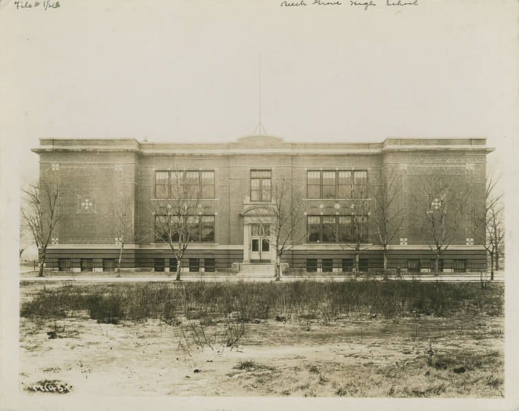
Beech Grove Beech Grove is a suburban town located about six miles southeast of downtown Indianapolis. It was a quiet farming community… Read More »Beech Grove
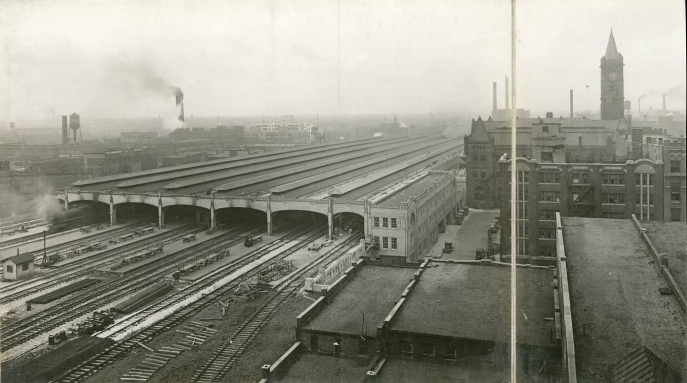
Belt Line Railroad Completed in 1878, the Belt Line Railroad over many decades has served as a supplemental track facility for other railroads… Read More »Belt Line Railroad
Ben Davis Ben Davis is located about six miles west of . The community is bounded by Rockville Road to the north,… Read More »Ben Davis
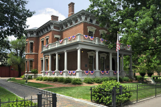
Benjamin Harrison Presidential Site (1230 North Delaware Street). Designed by architect Herman T. Brandt in the Italianate style popular in the late 19th century,… Read More »Benjamin Harrison Presidential Site
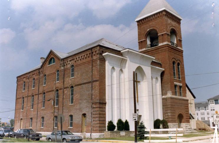
Bethel African Methodist Episcopal (A.M.E.) Church In 1836, Augustus Turner, a local barber, organized a small group of African American Methodists into a congregation eventually known… Read More »Bethel African Methodist Episcopal (A.M.E.) Church
Bierman Neighborhood Group Bierman Neighborhood Group is a neighborhood organization bounded by Raymond Street and Southeastern Avenue to the north, Troy Avenue and… Read More »Bierman Neighborhood Group
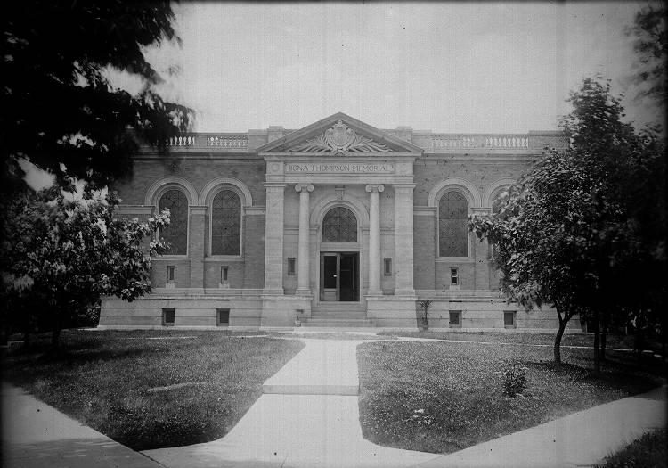
Bona Thompson Center Located at 5350 University Avenue, the Bona Thompson Memorial Library is the last surviving building of the – campus. Following… Read More »Bona Thompson Center
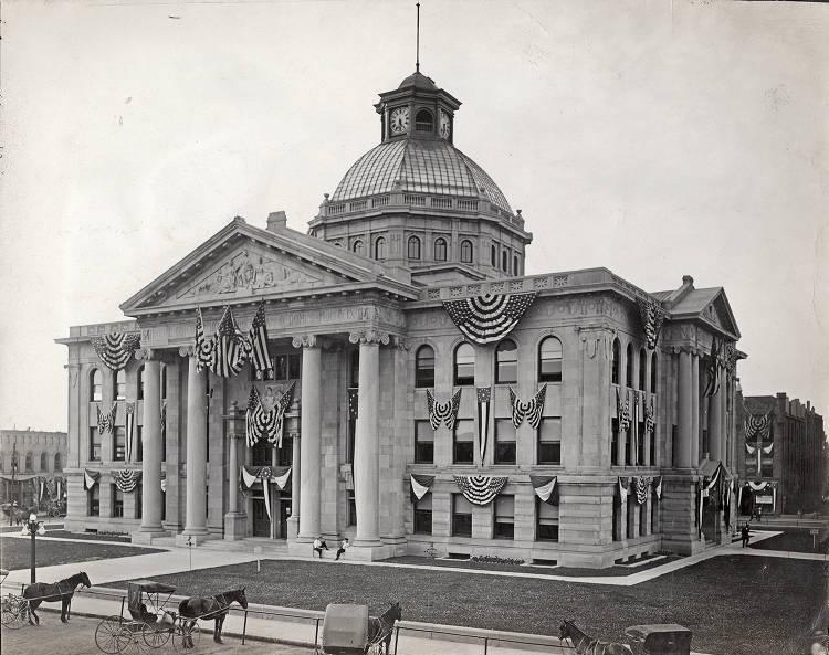
Boone County Boone County’s proximity to the capital has been an important factor in the area’s growth and development over the years.… Read More »Boone County
Bosart Brown Bosart Brown neighborhood is bounded by Michigan Street to the north, Washington Street to the south, Emerson Avenue to the… Read More »Bosart Brown
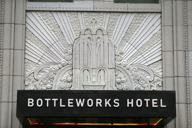
Bottleworks District Bottleworks is an urban mixed-use development located at the former Coca-Cola Bottling Plant in downtown Indianapolis. Since its establishment in… Read More »Bottleworks District