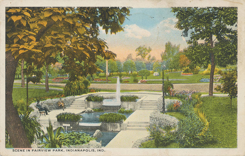
Fairview Park In August 1889, the Citizens Street Railway Company purchased the 246-acre Adam Scott farm, located along the north of Indianapolis,… Read More »Fairview Park
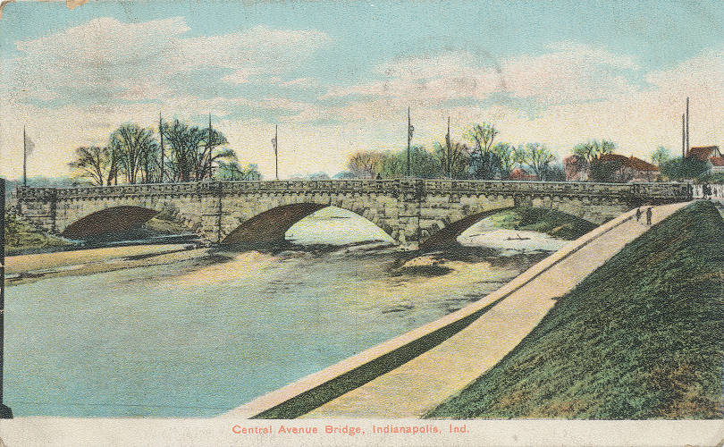
Fall Creek Bridges In 1899, a program of replacing Indianapolis’ steel and iron bridges with new “permanent” stone and concrete ones began. The… Read More »Fall Creek Bridges
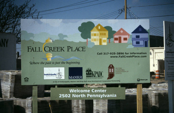
Fall Creek Place Located two miles north of Downtown between 22nd Street and Fall Creek, east of Pennsylvania Street and west of College… Read More »Fall Creek Place
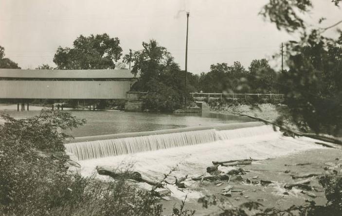
Fall Creek Waterway Fall Creek, a major tributary of White River within Marion County, was one of the earliest focal points of Indianapolis.… Read More »Fall Creek Waterway
The Famous Door The Famous Door was a popular Indianapolis entertainment venue that inspired future LGBTQ+ bars and clubs in the city by… Read More »The Famous Door
Far Eastside Far Eastside Neighborhood Association is a neighborhood organization bounded by East 30th Street to the north, 10th Street to Post… Read More »Far Eastside
Farley / Westridge Farley, or Farley’s Addition, is a neighborhood east of Interstate 465 and south of the former B&O Railroad. The neighborhood… Read More »Farley / Westridge
Fayette Street Situated along the Indianapolis upper canal area, bounded by 9th , 10th , Martin Luther King Jr., and North Missouri… Read More »Fayette Street
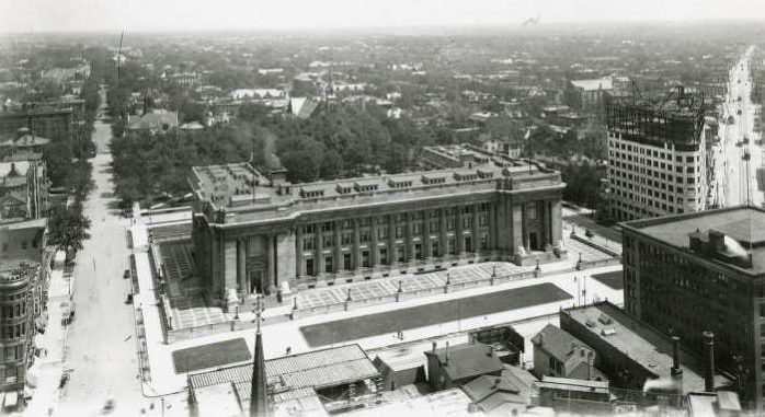
Federal Buildings There are three federal buildings in Indianapolis: the Birch Bayh Federal Building and U.S. Courthouse (formerly the U.S. Court House… Read More »Federal Buildings
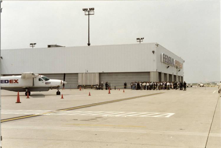
FedEx Express National Hub The 2.4-million-square-foot FedEx Express Indianapolis National Hub at opened on October 4, 1988, using its corporate name at that time,… Read More »FedEx Express National Hub