Eastgate Eastgate Neighborhood Association is a neighborhood organization bounded by East 16th Street to the north, East Washington Street to the… Read More »Eastgate
Eastwood Eastwood Neighborhood Association is a neighborhood organization bounded by 65th Street to the north, Kessler Boulevard to the south, Binford… Read More »Eastwood
Edgewood Edgewood is a suburb roughly bounded by Thompson Road, McFarland Road, Edgewood Avenue, and U.S. 31. In August 1907, Indianapolis… Read More »Edgewood
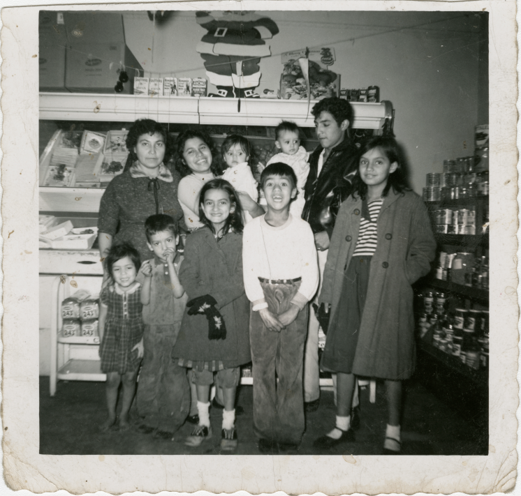
El Barrio Since the late 19th century, a small number of Latinos and Hispanics have called Indianapolis home—illustrated by National Origin numbers… Read More »El Barrio
Emerson Heights Emerson Heights is a neighborhood bounded by 10th Street to the north, Michigan Street to the south, Emerson Avenue to… Read More »Emerson Heights
Englewood Englewood Neighborhood Association is a neighborhood organization bounded by Michigan Street to the north, railroad tracks south of Washington Street… Read More »Englewood
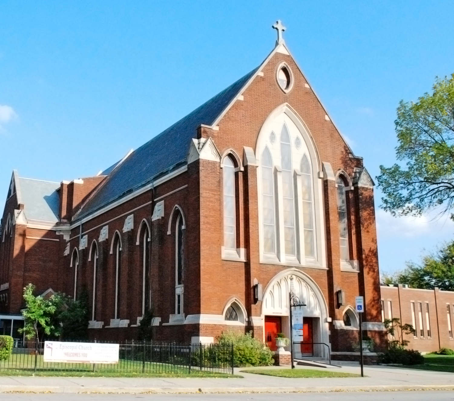
Episcopal Church of All Saints The parish known as All Saints was established under the name Grace Church in September 1864. It was the third… Read More »Episcopal Church of All Saints
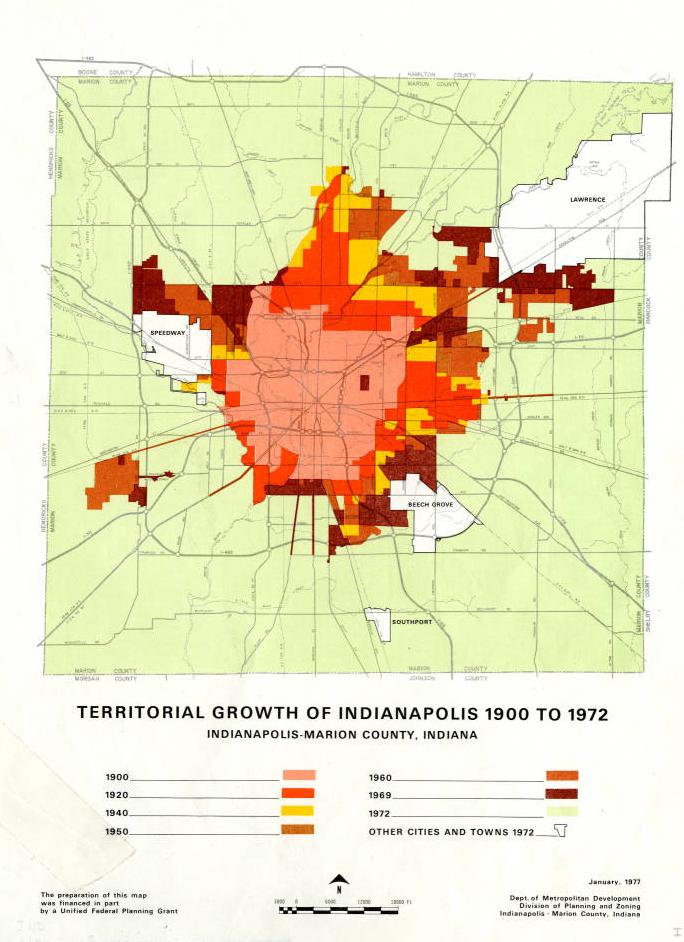
Excluded Cities One of the compromises made to secure passage of the legislation was that all incorporated Marion County municipalities with populations… Read More »Excluded Cities
Fairfax Fairfax Neighborhood Association is a neighborhood organization bounded by 10th Street to the north, Vermont Street to the south, Tibbs… Read More »Fairfax
Fairfields-Sylvan Neighborhood Association Fairfields-Sylvan Neighborhood Association is a neighborhood organization bounded by both sides of East 65th Street to the north, Kessler Boulevard… Read More »Fairfields-Sylvan Neighborhood Association