Fall Creek, a major tributary of White River within Marion County, was one of the earliest focal points of Indianapolis. The city was initially planned around the wetland areas featuring the junction of Fall Creek and the river. (This junction was originally at Washington Street but was moved to 10th Street following the 1913 flood to alleviate poor central city drainage.) The waterway provided water power for the industrial development of the city and was part of the planned by in 1909. Indianapolis has since built residential communities and designated parks such as neighborhood, , and Skiles Test Nature Park along its banks.

Fall Creek is a 57.5-mile waterway that begins in Honey Creek, Indiana, and runs through Pendleton and before making its way to Marion County. The waterway enters in the northeast corner of the county and flows southwest, crossing the Central Canal before emptying to the White River.
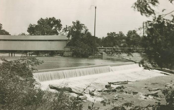
Fall Creek features a dam at two locations in Marion County: Geist and Keystone Avenue. The dam at Geist was formed in 1943 when the steep-walled Fall Creek valley was impounded to create Geist Reservoir, which provided up to 26.8 million gallons per day of drinking water. The second dam was at Keystone Avenue. Downstream of this dam the waterway is contained within concrete walls and a levee system to its mouth.

Fall Creek is part of two sub-watersheds (areas of land where all the water that is under it or drains off goes to the same place) of the Upper White River Watershed, the Upper Fall Creek/Geist Reservoir, and the Lower Fall Creek. Both watersheds have long suffered deteriorated quality of water because of stormwater and sewer overflows. To address this, a Watershed Management Plan was drafted in 2009 for the Lower Fall Creek Watershed and 2011 for the Upper Fall Creek Watershed. These plans provided an overview of the current conditions of the watersheds and presented actionable recommendations for preserving and improving the environment and quality of the Watershed. This included increased education and outreach; preservation and restoration methods; measures to increase cooperation, coordination, and collaboration among all stakeholders in the watershed; and more.

Help improve this entry
Contribute information, offer corrections, suggest images.
You can also recommend new entries related to this topic.