Initially constructed over the course of 1811-1818 from Cumberland, Maryland, to Wheeling, (West) Virginia, the National Road was the first federally funded road planned across the United States. By connecting the Potomac River to the Ohio River, the road linked Washington, D.C., to the nation’s interior. A further extension to St. Louis proceeded much more slowly as the political climate changed, but, by 1827, surveys platting the road across Indiana were essentially completed.

The road was entirely open across Indiana by the end of the 1830s. Covered bridges spanned major rivers along the road, including the White River in Indianapolis, where the route followed Washington Street through the heart of town. In 1848, Congress turned the National Road over to the states to maintain. During the 1830s and 1840s, the National Road through Indianapolis carried a constant stream of stagecoaches, freight wagons, animals being driven to market, and westward-bound Conestogas, but its importance outside the city dwindled after railroad construction in the 1850s duplicated the route.
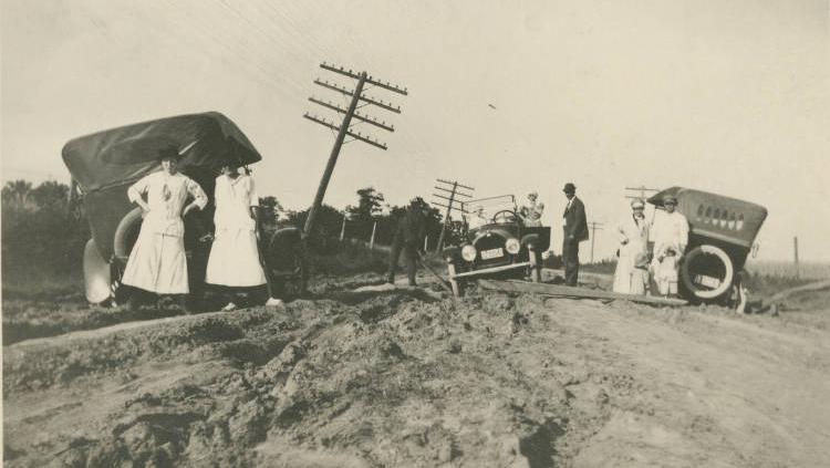
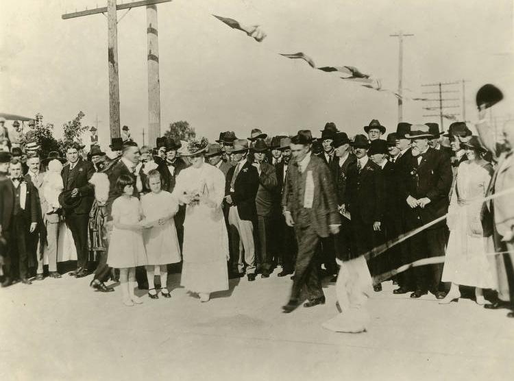
The road, known as the National Old Trails Road, experienced a renaissance as an automobile route in the 1910s, and the new State Highway Commission designated it a “main market road” in 1919. In 1927, it became U.S. 40, one of the first federal highways.

The completion of I-70 in the 1970s again reduced the importance of the former National Road. Lengthy stretches of strip development in Marion County have obliterated virtually all vestiges of the National Road’s mid–19th–century past, but roadside diners and motels from its early years as an automobile highway survive in scattered remnants. A marker on the southside of the state capitol building designates the location of U.S. 40.

Help improve this entry
Contribute information, offer corrections, suggest images.
You can also recommend new entries related to this topic.