The Regional Center Plans (RCP) consist of a series of three reports describing existing conditions and plans for the downtown Indianapolis area. The (MDC) adopted the plans, each a periodic update of the previous one, to guide its policies. Part of a larger body of Indianapolis-area planning studies conducted throughout the 20th century, the regional center planning district initially covered a 5.2 square mile area, also called the “inner loop” and commonly referred to as “downtown” or the “central business district” bounded by I-65 and I-70 to the north, east, and south, and generally by the and Harding Street to the west. In the Regional Center Plan 2020, the northern boundary was extended to 16th Street, encompassing a total of 6.63 square miles.
The idea of planning specifically for the regional center originated as a special project of the Unified Planning Program (1970-1972), funded by a federal HUD grant awarded to the (DMD) and inspired by . The main purpose of the plan was to combat the deterioration of the urban core by providing services and a pleasant environment to attract new development. DMD staff and planning consultants completed the study in 1970. Projects identified by this study included increased recreation and park space, especially along White River; modernization of for use as a transportation center; beautification of ; a Washington Street bus and pedestrian transitway; and development of the area and street corridor. Of these initial goals, only a revamped City Market (1972), Monument Circle (1978), and Market Street (1980) were realized by 1980, although other public projects were also completed during the 1970s, spurred by the increased downtown interest.
In 1978, the (GIPC), the mayor’s office, the DMD, and the Commission for Downtown (renamed ) funded and implemented an update of the earlier RCP. Mayor appointed 150 civic leaders to the GIPC task force, who worked with city planners to provide guidelines, policies, and goals for future downtown planning in a 1981 document, “Indianapolis 1980-2000 Regional Center General Plan.”
The second RCP aimed to stimulate downtown business, office space, industry, and retail development. Other subcommittees focused on urban design, transportation, historic preservation, recreation and tourism, downtown housing and neighborhoods, and public facilities. Proposed public projects included expansion of the , rehabilitation of and Union Station (this time as a mall and tourist attraction), the creation of (IUPUI) physical education facilities, , a retail mall, Washington Street Mall, and Mall. Many of these projects were realized by 1990.
This rapid progress during the 1980s led to a third RCP, a decade ahead of schedule. The 1990 committee and planning process, organized and supported in the same way as the 1981 RCP, involved over 460 civic leaders and included even more public participation. The focus of “Indianapolis Regional Center Plan, 1990-2010” shifted from buildings and jobs to linking neighborhoods, providing social services, and promoting human relations and the arts to make Indianapolis a more livable city. Other important goals included completion of and White River State Park, additional museums and cultural opportunities, expanded government structures, beautification of parks and monuments, the continued preservation of historic buildings, and development of more research and technology jobs.
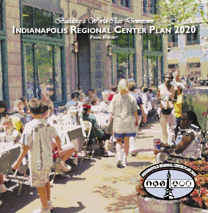
A fourth RCP was released in 2004 after a three-year planning process led by DMD with the support of GIPC, Downtown Indy, and the newly established Ball State University College of Architecture and Planning Indianapolis Center. The plan built on more than $3.5 billion in investment that occurred since the 1990 plan, including the completion of Circle Centre Mall and the construction of the , expansion of the Indiana Convention Center, development of the campus, completion of White River State Park including the , and the , and continued development of the IUPUI campus. Key priorities of the plan include the development of a life sciences research community (), doubling the population of the area to 40,000 residents, development of a multi-modal transportation network to include the , expansion of the downtown convention focus, and overhaul of the downtown development project approval process. This approval process recommendation led to the development in 2008 of the Regional Center Design Guidelines document, which also added a formal public review process for downtown development.
In 2019, as part of DMD’s role in the Plan 2020 planning initiative, the Regional Center Plan brand was retired with the consolidation of district planning studies into a series of plans focused on the core regulatory and investment functions of local government, most notably the Marion County Land Use Plan. This shift embraced the broadening of planning capacity outside of city government that encompassed more of the project and program elements of previous district plans, including the maturation of Downtown Indy, which had released its Velocity Strategic Action Plan in 2014 for the regional center area.

Help improve this entry
Contribute information, offer corrections, suggest images.
You can also recommend new entries related to this topic.