Johnson County, located south of Indianapolis, is named after John Johnson, the first Chief Justice of the Indiana Supreme Court. In 1818, Jacob Whetzel set out to create a trail from Franklin County to Greene County but settled instead on the bluffs of White River in what is now Johnson County. This trail, known as Whetzel’s Trace, was used by many early settlers of Marion, Johnson, Morgan, and Shelby counties.

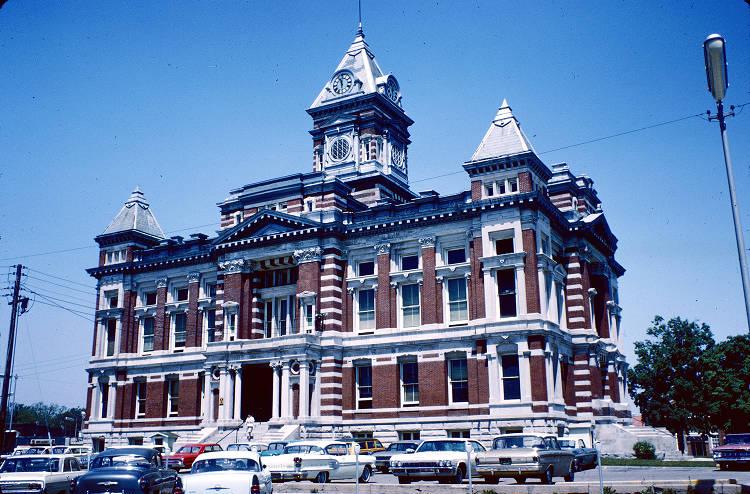
Johnson County was organized in 1822. Whetzel’s Trace, the Ancient River Trail, and the Madison and Indianapolis State Road all facilitated settlement of the county, which was traversed by the White and Blue Rivers and Sugar Creek. The county was platted on May 5, 1823. The county seat was established near the county’s geographic center with the town of platted there in 1823. It grew rapidly and was incorporated as a town with over 2,000 residents by the time of the Civil War.
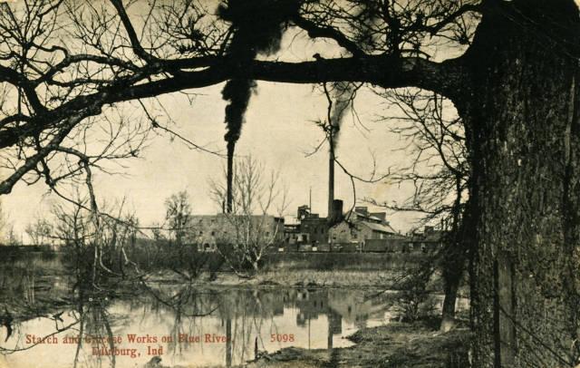
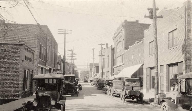
The second important town in early Johnson County was Edinburgh. Platted in southern Johnson County in 1825, Edinburgh grew slowly until the was completed there in 1845. The population quickly doubled and Edinburgh became the leading grain and pork market in central Indiana, with merchants coming from as far away as Danville, Spencer, and Bloomington. Edinburgh’s growth slowed with the completion of the Madison and Indianapolis Railroad to Indianapolis in 1847, but it continued to be the manufacturing center of the county throughout the 19th century.

Before the railroad arrived, Johnson County was served by a stagecoach line that ran from the capital to Madison along the Madison and Indianapolis State Road. Taverns were constructed in the county at five-mile intervals along the route to serve travelers and provide fresh horses. The coach was abandoned in the late 1840s.
In 1835, the Indiana Baptist Education Society founded the Indiana Baptist Manual Labor Institute at Franklin. The society operated the institution until May 1872, when it declared bankruptcy. During the summer of that year, the Franklin College Association, a group of residents assumed the institute’s debts which saved the school from closure. The name was officially changed to Franklin College, and the Franklin College Association operated it successfully until 1907 when it was incorporated as Franklin College of Indiana. The college is recognized throughout the state and the Midwest as an excellent small liberal arts college.

The town of was established in northern Johnson County in 1864. It had a population of around 350 for many years but grew rapidly with the completion of the electric railway from Indianapolis in 1900. By 1902 Greenwood, Franklin, and Edinburgh were all connected to Indianapolis by , and all were prosperous towns.
The demise of the and interurbans crippled Edinburgh. Already replaced as a market, the town lost its industry as well. Its population has declined since 1970 even though the population of Johnson County increased by over 25,000 during the same period.

The 2020 U.S. Census reported the population of Johnson County as 153,716, a growth of 14,000 residents since 2010. It is the 11th most populous county in Indiana. The county encompasses 320.43 square miles of which 320.43 square miles is land and 1.36 square miles is water. Johnson County shares its border with Marion, Shelby, Bartholomew, Brown, and Morgan Counties.
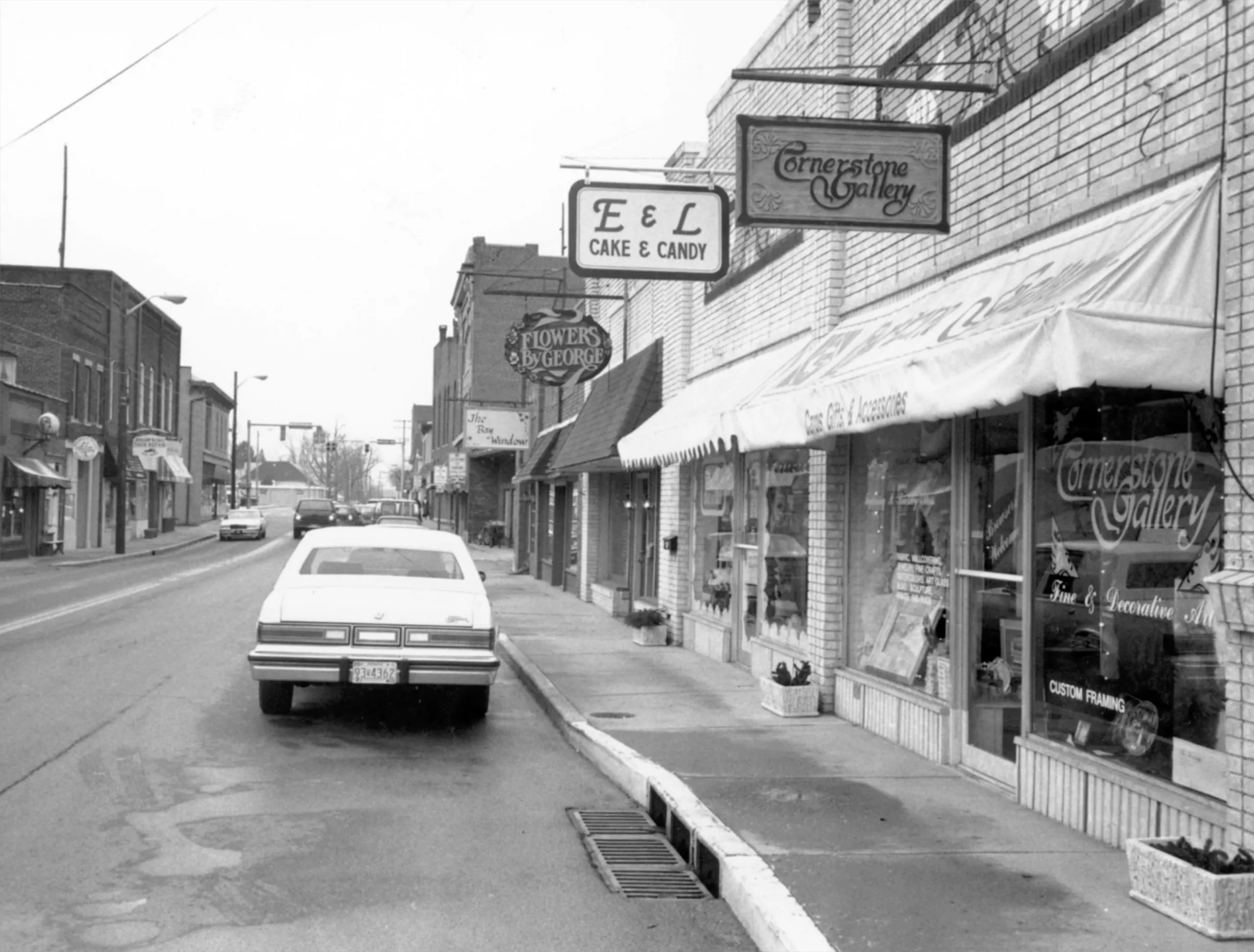
Franklin and Greenwood remain the county’s two major cities, each governed by their own mayor. In addition, Johnson County is divided into civil townships, Blue River, Clark, Franklin, Hensley, Needham, Ninevah, Pleasant, Union, and White River. Within the townships lie the towns of , Edinburgh, New Whiteland, Princes Lakes, Trafalgar, and Whiteland, each governed by a three-to seven-member town council.

Is this your community?
Do you have photos or stories?
Contribute to this page by emailing us your suggestions.