Norwood Norwood Neighborhood Association is a neighborhood organization bounded by Prospect to the north, Terrace to the south, Sherman Drive to… Read More »Norwood
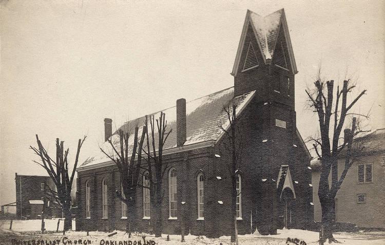
Oaklandon Oaklandon is a suburb located in Marion County, approximately 15 miles northeast of downtown Indianapolis along Pendleton Pike (SR 67)… Read More »Oaklandon
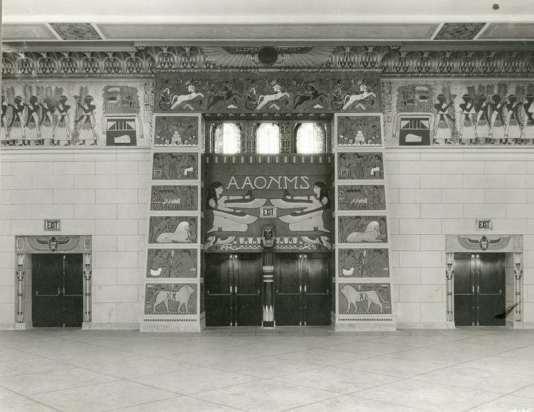
Old National Centre Located at 510 North New Jersey Street, Old National Centre, now a major event venue, was formerly known as the… Read More »Old National Centre
Old Northside Bounded by 16th Street, Bellefontaine Street, I-65, and Pennsylvania Street, the area now known as the Old Northside began as… Read More »Old Northside
Old Southside Neighborhood Association Old Southside Neighborhood Association is a neighborhood organization bounded by South Street to the north, CSX railroad tracks to the… Read More »Old Southside Neighborhood Association
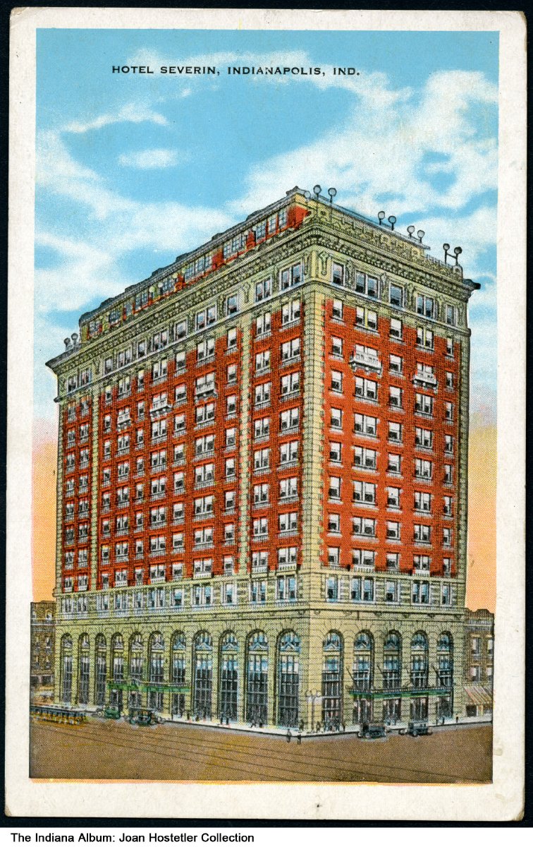
Omni Severin Hotel In 1913, Henry Severin Jr. built the 400-room Hotel Severin in the heart of the thriving on Georgia and Illinois… Read More »Omni Severin Hotel
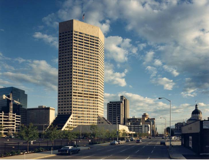
One America Tower At 38 stories, One America Tower (One America Square, formerly AUL Tower), surpassed the 1970 Indiana National Bank Tower in… Read More »One America Tower
Otterbein Otterbein Neighborhood Association is a neighborhood organization bounded by I-70 Street to the north, 16th Street to the south, Sherman Drive to… Read More »Otterbein
Oxford Oxford Neighborhood Association is a neighborhood organization bounded by 38th Street to the north, 30th Street to the south, Sherman… Read More »Oxford
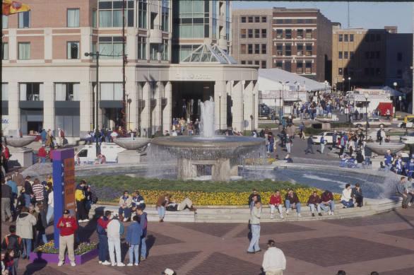
Pan American Plaza Opened in 1987 as the media center for the , this civic space serves as a permanent tribute to the… Read More »Pan American Plaza