Hollywood Place Hollywood Place Neighborhood is a neighborhood organization bounded by Michigan Street to the north, Washington Street to the south, Sherman… Read More »Hollywood Place
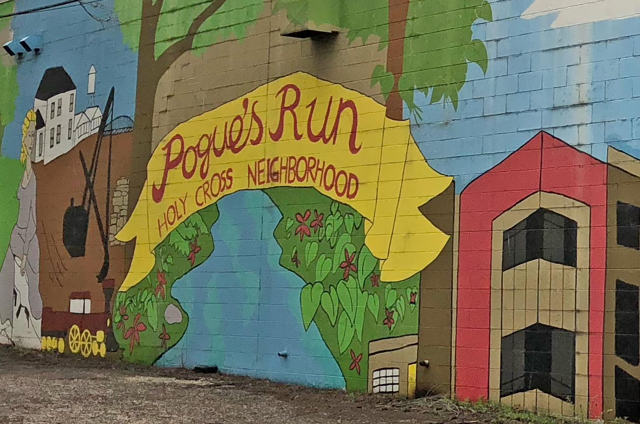
Holy Cross Previously known as the Holy Cross Westminster neighborhood, in 2020 the area known as Holy Cross lies on Indianapolis’ near… Read More »Holy Cross
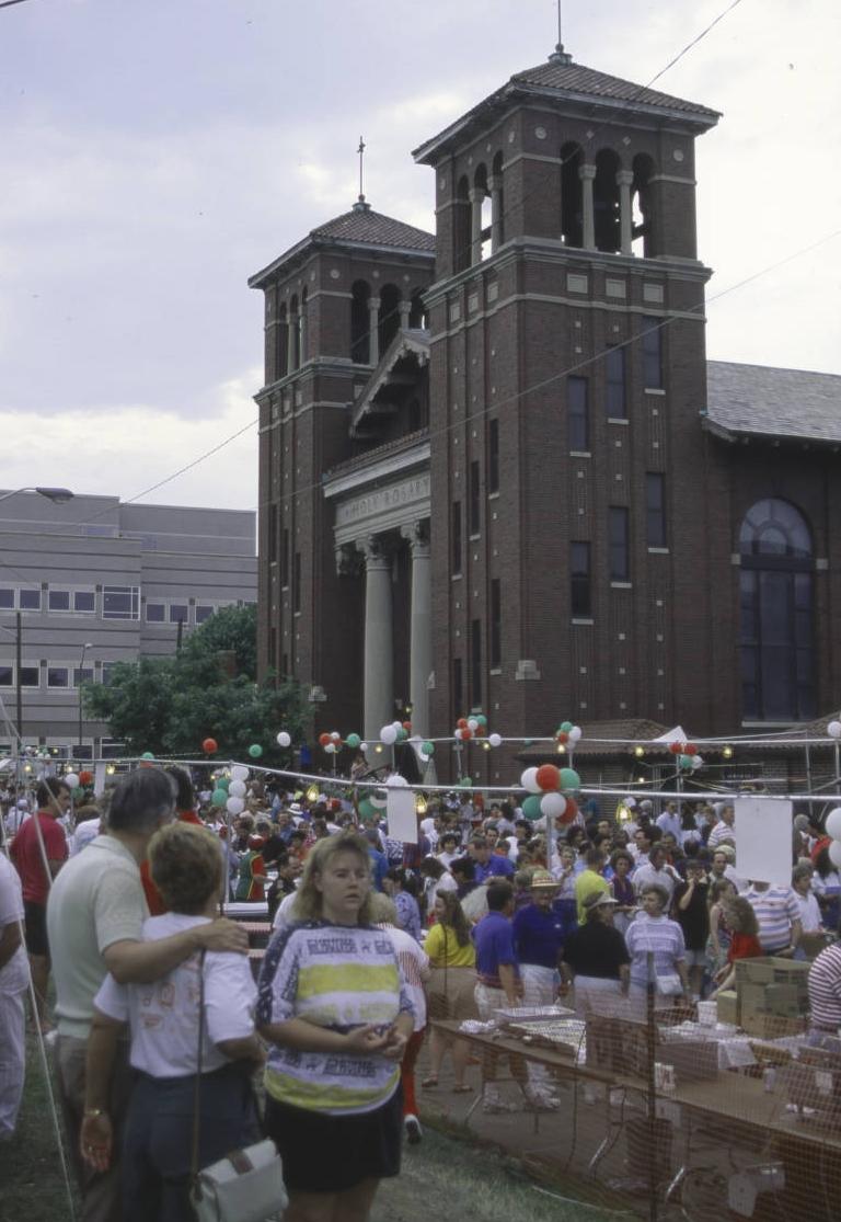
Holy Rosary-Danish Church Holy Rosary-Danish Church is a historic district bounded by Virginia Avenue and Wright, Buchanan, and East streets. The neighborhood is… Read More »Holy Rosary-Danish Church
Home Place Home Place is a suburban area, centered at the intersection of 106th Street and College Avenue. Before 1914 the area… Read More »Home Place
Homecroft Homecroft is a Perry Township community roughly bounded by Banta Road on the north, the Conrail tracks on the east,… Read More »Homecroft
Included Towns The special status of “included towns” was extended to 16 municipalities in the legislation that consolidated the city of Indianapolis… Read More »Included Towns
Indian Lake Indian Lake is a 60 acre reservoir and neighborhood east of in . The reservoir was created when Indian Creek… Read More »Indian Lake
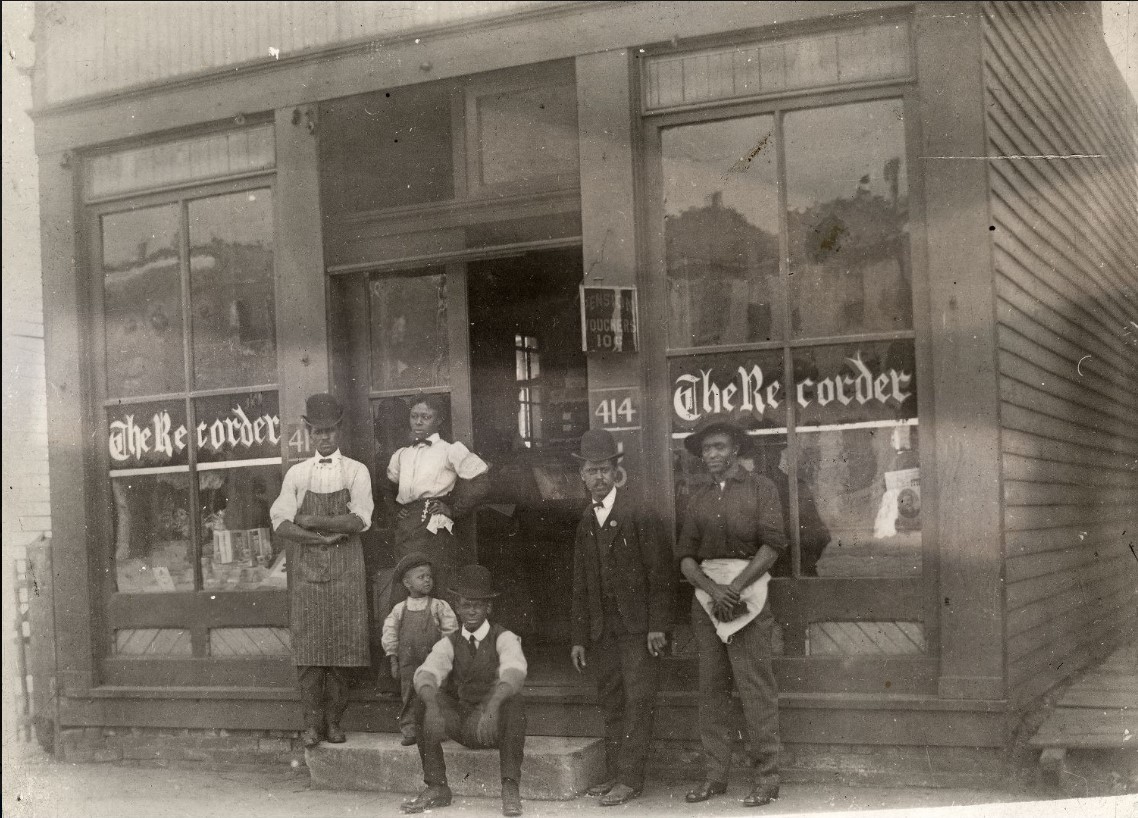
Indiana Avenue In the early 20th century Indiana Avenue became the focal point of the African American community, with segregated business places,… Read More »Indiana Avenue
Indiana Park Indiana Park Crime Watch is a neighborhood organization bounded by Vermont Street to the north, Rockville Road to the south,… Read More »Indiana Park
Indianapolis Metropolitan Statistical Area A Metropolitan Statistical Area (MSA) is a federal classification used to identify one or more counties or equivalent areas with… Read More »Indianapolis Metropolitan Statistical Area