Community Heights Community Heights is a neighborhood bounded by 21st Street to the north, 10th Street to the south, Arlington Avenue to… Read More »Community Heights
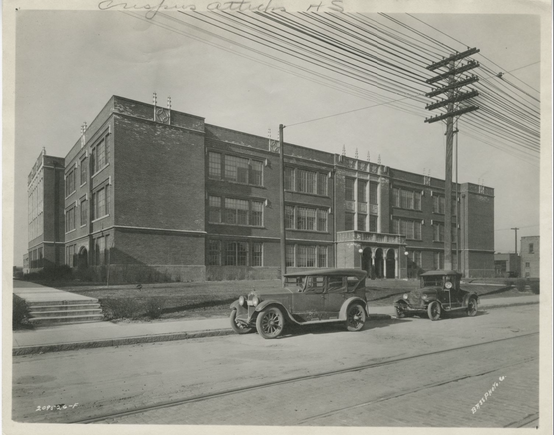
Crispus Attucks High School Crispus Attucks High School was the city’s response to pressure to segregate public secondary education. In the 1920s, most of… Read More »Crispus Attucks High School
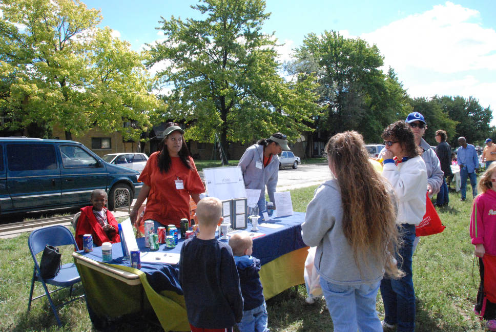
Crooked Creek Crooked Creek is a neighborhood centered along Michigan Road on the city’s northwest side. This diverse neighborhood has long been… Read More »Crooked Creek
Crosstown Community Organization Crosstown Community Organization is a neighborhood organization bounded by the to the north, 30th Street to the south, Dr. Avenue… Read More »Crosstown Community Organization
Crown Hill Neighborhood Crown Hill is a neighborhood bounded by 38th Street to the north, 30th Street to the south, Meridian Street to… Read More »Crown Hill Neighborhood
Delaware Trails Delaware Trails is a northside neighborhood that includes two neighborhood organizations: Delaware Trails North and Delaware Trails South. Delaware Trails… Read More »Delaware Trails
Devington Devington is a neighborhood bounded by 46th Street to the north, 38th Street to the south, Shadeland Avenue to the… Read More »Devington
Devon Devon is a neighborhood bounded by Fall Creek Drive to the north, 42nd Street to the south, Emerson Avenue to… Read More »Devon
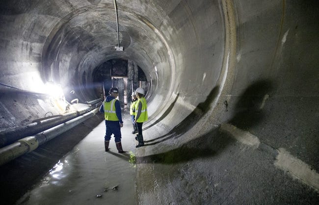
DigIndy The Indianapolis sewer system was originally built as a combined sewer system. Common from the late-1800s to the early-1900s, both… Read More »DigIndy
Drexel Avenue Drexel Avenue Neighborhood Association is a neighborhood organization bounded by 38th Street to the north, 34th Street to the south,… Read More »Drexel Avenue