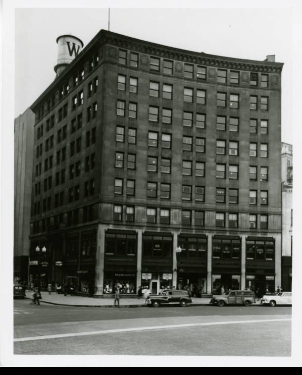
Guaranty Building The local architectural firm designed the Guaranty Building in 1922, with construction completed in 1923. The building’s design was born… Read More »Guaranty Building
Hagan-Burke Trail (Hamilton Co.) The Hagan-Burke Trail is located north of Indianapolis in . Named after Judy Hagan and Ed Burke, two community leaders… Read More »Hagan-Burke Trail (Hamilton Co.)
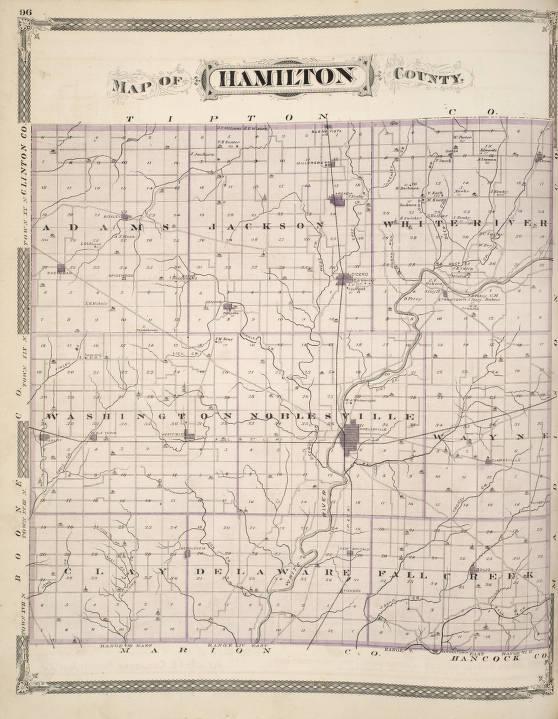
Hamilton County Hamilton County is adjacent to Indianapolis-Marion County to the north and part of the . It comprises 400 square miles… Read More »Hamilton County
Hancock County Hancock County is adjacent to Indianapolis-Marion County on the east and part of the . The families of Andrew Evans,… Read More »Hancock County
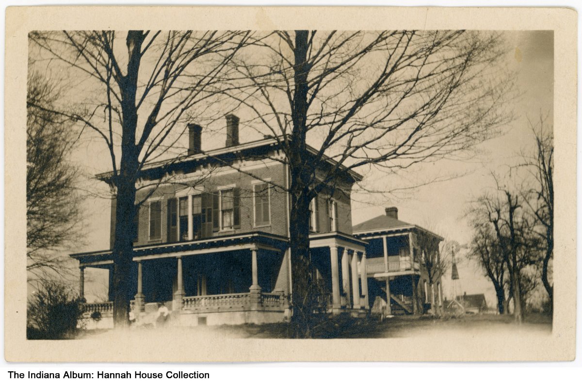
Hannah House Hannah House, located at 3801 Madison Avenue, is a historic house full of history and haunted tales. Paranormal experts and… Read More »Hannah House
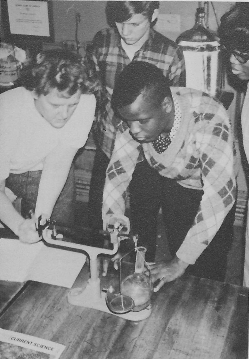
Harry E. Wood High School In 1953, the Charles E. Emmerich Manual Training High School (see ) moved from 501 S. Meridian Street to 2405… Read More »Harry E. Wood High School
Haughville Haughville is a westside neighborhood roughly bounded by 10th Street, Belmont Avenue, Michigan and Vermont streets, and Tibbs Avenue. First… Read More »Haughville
Hawthorne Hawthorne Neighborhood Association is a neighborhood organization bounded by Turner Avenue and Vermont Street to the north, the Conrail tracks… Read More »Hawthorne
Haywood Park Haywood Park Neighbors’ Association is a neighborhood organization bounded by 30th Street to the north, East Fall Creek Parkway and… Read More »Haywood Park
Heatherwood Heatherwood Neighborhood Association is a neighborhood organization bounded by Westdrum Road to the north, Morris Street to the south, High… Read More »Heatherwood