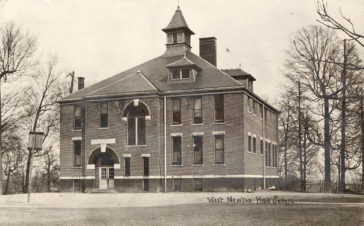
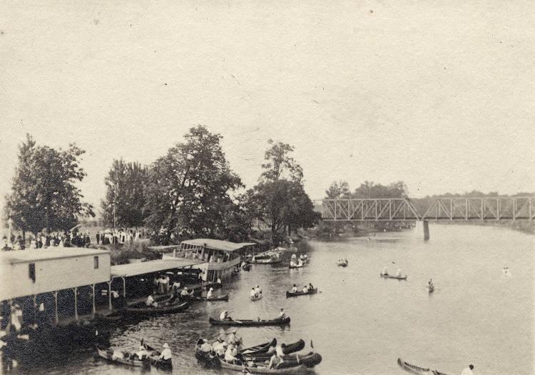
West Newton West Newton’s approximate boundaries are Mendenhall Road on the north, Goose Creek on the east, Milton Street on the south,… Read More »West Newton
Westchester Westchester is a neighborhood bounded by 86th Street to the north, 79th Street to the south, Township Line Road to… Read More »Westchester
Westfield Westfield is located in western , nine miles north of Indianapolis. In 1832, the area not yet defined as Westfield… Read More »Westfield
Westminster/St. Philip Neri Neighborhood Westminster/St. Philip Neri Neighborhood is a neighborhood organization bounded by Michigan Street to the north, railroad tracks to the south,… Read More »Westminster/St. Philip Neri Neighborhood
Westmore Heights Westmore Heights is a neighborhood organization bounded by 65th Street to the north, 62nd Street to the south, Oakland Street… Read More »Westmore Heights
Westside Neighborhood Association Westside Neighborhood Association is a neighborhood organization bounded by 22nd Street to the north, 10th Street to the south, Lafayette… Read More »Westside Neighborhood Association
Westview Westview Neighborhood Association is a neighborhood organization bounded by 38th Street to the north, 30th Street to the south, Guion… Read More »Westview
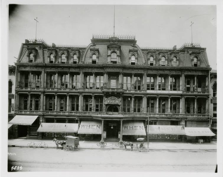
The When Store came to Indianapolis in the mid-1870s from New York City to open a branch store for clothing wholesaler, Owen, Pixley… Read More »The When Store
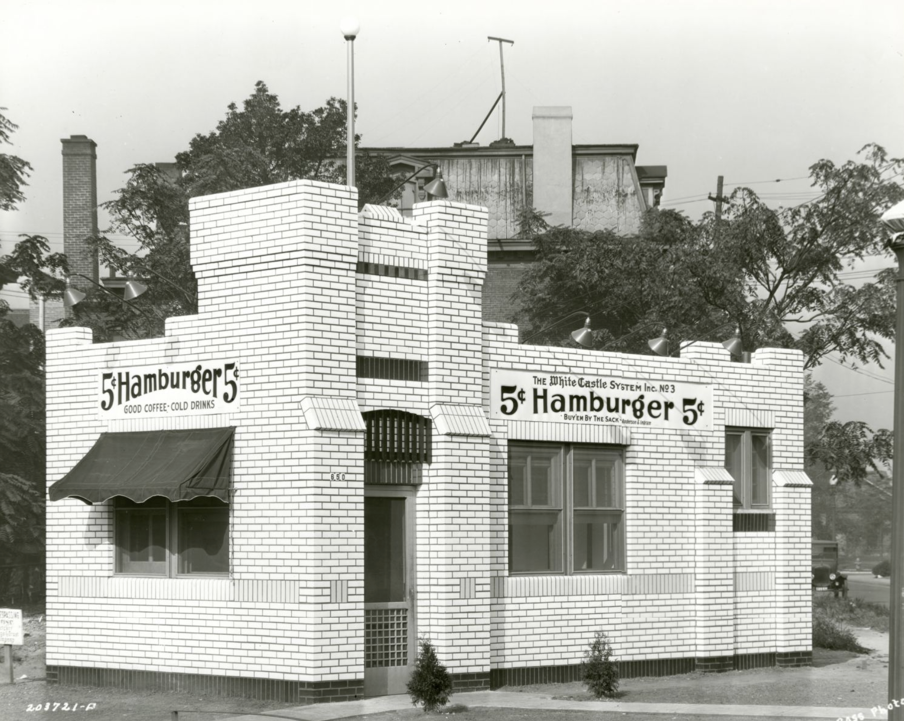
White Castle #3 Indianapolis White Castle #3 opened in 1927. Located at 660 Fort Wayne Avenue, the 600-square-foot square restaurant was a simple… Read More »White Castle #3
White River The White River begins in Randolph County and flows through 362 miles of Central and Southern Indiana before meeting up… Read More »White River